Milton night lights from space
Night Light of Milton (Massachusetts) from space (United States) Src. Average luminocity for 10x10km area is 83.8576% and for 50x50km: 52.2177%.
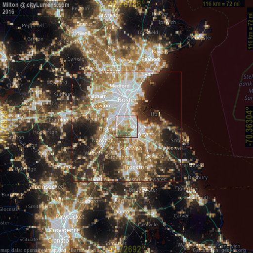
Analysis of Milton night lights 2016
Square area 10x10 km:
 30%
30%90-99
29.09%80-89
6.36%70-79
6.82%60-69
9.85%50-59
9.85%40-49
7.88%30-39
0.15%20-29
0%10-19
0%0-9
0%Square area 50x50 km:
12.43%90-99
10.66%80-89
5.9%70-79
6.28%60-69
8.33%50-59
8.41%40-49
7%30-39
6.53%20-29
10.24%10-19
11.96%0-9
12.25%Clear (daylight) street map image can be seen on geolist.org.
Map coordinates:
42° 46' 4.3" North, 71° 46' 9.4" West
42° 14' 58.3" North, 71° 3' 58.2" West
41° 43' 36.9" North, 70° 21' 46.9" West
Some cities around Milton sort by population:
• South Boston
9.4 km =5.8 mi,  8°
8°
• Quincy
5.3 km =3.3 mi,  85°
85°
• Brookline
10.2 km =6.3 mi,  333°
333°
• Weymouth
10.9 km =6.8 mi,  107°
107°
• Jamaica Plain
8 km =5 mi, 326°
• Braintree
7.3 km =4.5 mi,  133°
133°
• Randolph
9.9 km =6.2 mi,  167°
167°
• Dedham
8.3 km =5.2 mi,  264°
264°
4944193 (p: 27,003)
Sources (retrieved 2019-11-25):
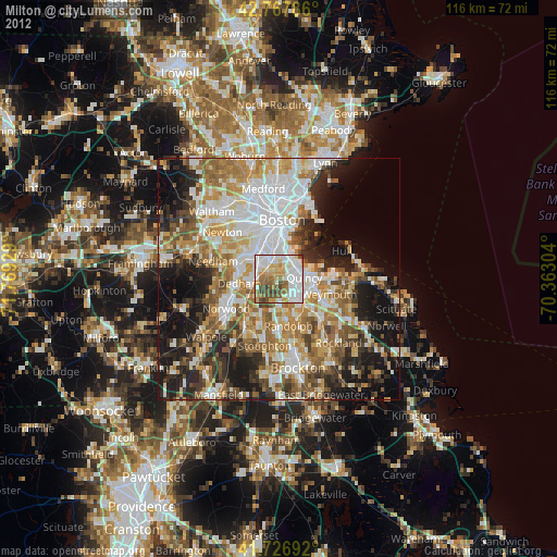
» Earth at Night: Flat Maps 2012, 2016