Abington night lights from space
Night Light of Abington (Massachusetts) from space (United States) Src. Average luminocity for 10x10km area is 64.597% and for 50x50km: 42.6676%.
Analysis of Abington night lights 2016
Square area 10x10 km:
 6.97%
6.97%90-99
9.7%80-89
7.42%70-79
13.03%60-69
16.36%50-59
24.55%40-49
11.36%30-39
6.82%20-29
3.64%10-19
0.15%0-9
0%Square area 50x50 km:
6.87%90-99
7.73%80-89
4.92%70-79
4.92%60-69
7.55%50-59
8.52%40-49
7.52%30-39
6.86%20-29
11.37%10-19
13.46%0-9
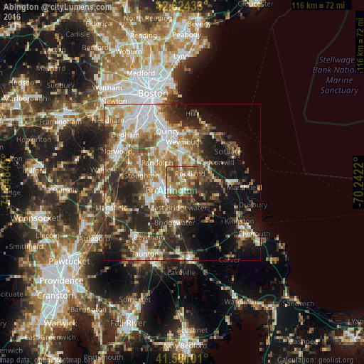
20.28%Clear (daylight) street map image can be seen on geolist.org.
Map coordinates:
42° 37' 27.6" North, 71° 38' 54.4" West
42° 6' 17.4" North, 70° 56' 43.2" West
41° 34' 51.6" North, 70° 14' 31.9" West
Some cities around Abington sort by population:
• Brockton
6.5 km =4 mi,  248°
248°
• Randolph
10.2 km =6.3 mi,  309°
309°
• Rockland
3.7 km =2.3 mi,  39°
39°
• Hanover
11 km =6.8 mi,  85°
85°
• Whitman
2.8 km =1.7 mi,  163°
163°
• East Bridgewater
8 km =5 mi,  188°
188°
• Holbrook
7.7 km =4.8 mi,  316°
316°
• West Bridgewater
10.8 km =6.7 mi,  208°
208°
4928662 (p: 15,985)
Sources (retrieved 2019-11-25):
» Earth at Night: Flat Maps 2012, 2016