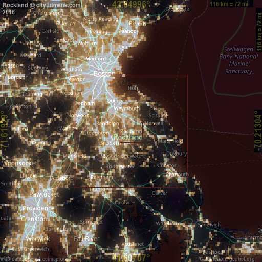
Rockland night lights from space
Night Light of Rockland (Massachusetts) from space (United States) Src. Average luminocity for 10x10km area is 64.1167% and for 50x50km: 40.5356%.
Analysis of Rockland night lights 2016
Square area 10x10 km:
 6.82%
6.82%90-99
9.7%80-89
8.64%70-79
11.52%60-69
14.39%50-59
26.82%40-49
9.7%30-39
8.33%20-29
4.09%10-19
0%0-9
0%Square area 50x50 km:
7.76%90-99
7.22%80-89
4.45%70-79
4.52%60-69
6.86%50-59
7.79%40-49
6.74%30-39
5.9%20-29
10.34%10-19
13.32%0-9
25.1%Clear (daylight) street map image can be seen on geolist.org.
Map coordinates:
42° 38' 59.9" North, 71° 37' 9.4" West
42° 7' 50.4" North, 70° 54' 58.2" West
41° 36' 25.5" North, 70° 12' 46.9" West
Some cities around Rockland sort by population:
• Brockton
9.9 km =6.2 mi,  238°
238°
• Weymouth
10.2 km =6.3 mi,  349°
349°
• Braintree
10.8 km =6.7 mi,  318°
318°
• Hanover
8.8 km =5.5 mi,  102°
102°
• Abington
3.7 km =2.3 mi,  219°
219°
• Whitman
5.8 km =3.6 mi,  196°
196°
• Holbrook
8.1 km =5 mi,  289°
289°
• Norwell
10.7 km =6.6 mi,  71°
71°
4948924 (p: 17,982)
Sources (retrieved 2019-11-25):
» Earth at Night: Flat Maps 2012, 2016