Quincy night lights from space
Night Light of Quincy (Massachusetts) from space (United States) Src. Average luminocity for 10x10km area is 79.4561% and for 50x50km: 50.1113%.
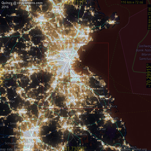
Analysis of Quincy night lights 2016
Square area 10x10 km:
 28.33%
90-99
26.67%80-89
6.21%70-79
9.39%60-69
7.42%50-59
6.52%40-49
1.67%30-39
6.97%20-29
5.45%10-19
1.36%0-9
0%Square area 50x50 km:
12.51%90-99
10.62%80-89
5.62%70-79
5.97%60-69
8.19%50-59
7.82%40-49
6.41%30-39
5.46%20-29
8.56%10-19
10.24%0-9
18.6%Clear (daylight) street map image can be seen on geolist.org.
Map coordinates:
42° 46' 16.2" North, 71° 42' 19.4" West
42° 15' 10.4" North, 71° 0' 8.2" West
41° 43' 49" North, 70° 17' 56.9" West
Some cities around Quincy sort by population:
• South Boston
9.8 km =6.1 mi,  336°
336°
• Weymouth
6.3 km =3.9 mi,  124°
124°
• Braintree
5.5 km =3.4 mi,  179°
179°
• Randolph
10.5 km =6.5 mi,  197°
197°
• Milton
5.3 km =3.3 mi,  265°
265°
• Holbrook
10.9 km =6.8 mi, 182°
• Hull
9.5 km =5.9 mi,  54°
54°
• Hingham
9.3 km =5.8 mi,  97°
97°
4948247 (p: 93,618)
Sources (retrieved 2019-11-25):
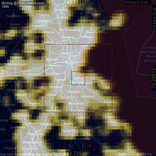
» NASA, Earths city lights 1995
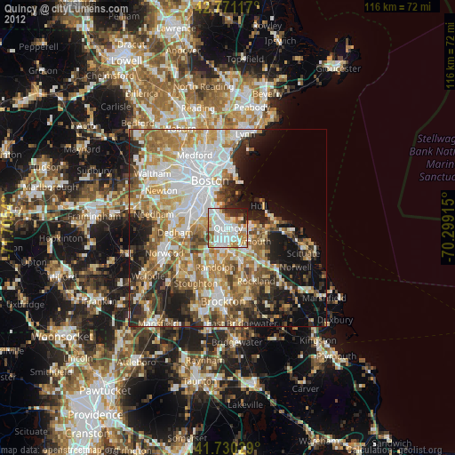
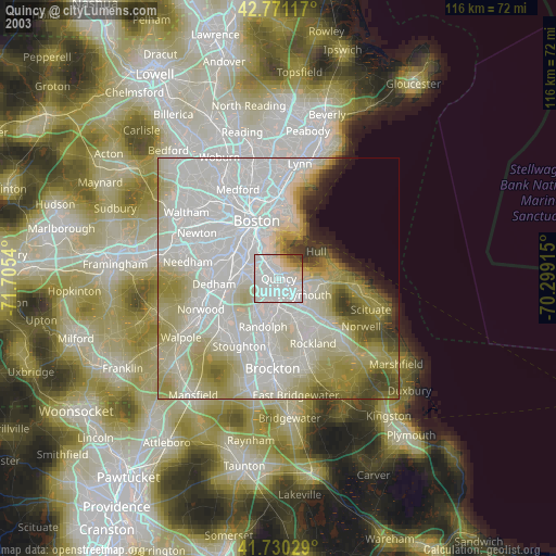
» NASA city lights 2003
» Earth at Night: Flat Maps 2012, 2016