Lampasas night lights from space
Night Light of Lampasas (Texas) from space (United States) Src. Average luminocity for 10x10km area is 15.6813% and for 50x50km: 1.8877%.
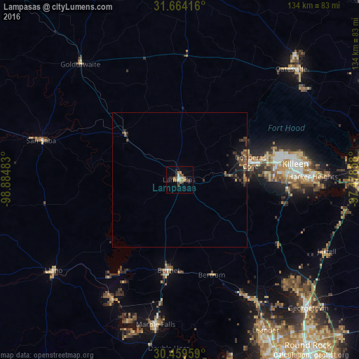
Analysis of Lampasas night lights 2016
Square area 10x10 km:
 1.65%
1.65%90-99
1.28%80-89
1.65%70-79
3.48%60-69
1.65%50-59
2.01%40-49
3.11%30-39
2.38%20-29
4.03%10-19
1.65%0-9
77.11%Square area 50x50 km:
0.07%90-99
0.05%80-89
0.18%70-79
0.26%60-69
0.39%50-59
0.31%40-49
0.49%30-39
0.57%20-29
0.55%10-19
1.16%0-9
95.97%Clear (daylight) street map image can be seen on geolist.org.
Map coordinates:
31° 39' 51" North, 98° 53' 5.4" West
31° 3' 49.6" North, 98° 10' 54.1" West
30° 27' 34.5" North, 97° 28' 42.9" West
Some cities around Lampasas sort by population:
• Killeen
43.6 km =27.1 mi,  82°
82°
• Copperas Cove
27.4 km =17 mi, 75°
• Fort Hood
39.5 km =24.5 mi, 78°
• Harker Heights
49.8 km =30.9 mi,  87°
87°
• Marble Falls
54.7 km =34 mi,  189°
189°
• Burnet
34.3 km =21.3 mi, 187°
• Kingsland
51.4 km =31.9 mi,  208°
208°
• Granite Shoals
56.2 km =34.9 mi,  200°
200°
4705176 (p: 7,687)
Sources (retrieved 2019-11-25):
» Earth at Night: Flat Maps 2012, 2016