Kingsland night lights from space
Night Light of Kingsland (Texas) from space (United States) Src. Average luminocity for 10x10km area is 16.0909% and for 50x50km: 4.6993%.
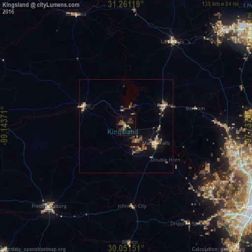
Analysis of Kingsland night lights 2016
Square area 10x10 km:
 0%
0%90-99
0%80-89
0.7%70-79
3.5%60-69
3.15%50-59
3.32%40-49
2.62%30-39
6.47%20-29
5.42%10-19
4.02%0-9
70.8%Square area 50x50 km:
0.14%90-99
0.25%80-89
0.78%70-79
0.57%60-69
0.49%50-59
1.09%40-49
0.98%30-39
1.15%20-29
0.86%10-19
3.03%0-9
90.66%Clear (daylight) street map image can be seen on geolist.org.
Map coordinates:
31° 15' 40.3" North, 99° 8' 37.4" West
30° 39' 29.7" North, 98° 26' 26.1" West
30° 3' 5.4" North, 97° 44' 14.9" West
Some cities around Kingsland sort by population:
• Leander
56.9 km =35.4 mi,  98°
98°
• Lakeway
55 km =34.2 mi,  126°
126°
• Fredericksburg
59.4 km =36.9 mi,  224°
224°
• Lampasas
51.4 km =31.9 mi,  28°
28°
• Lago Vista
48.6 km =30.2 mi,  116°
116°
• Marble Falls
18.2 km =11.3 mi, 119°
• Burnet
23.1 km =14.4 mi,  61°
61°
• Granite Shoals
9.4 km =5.8 mi,  144°
144°
4703372 (p: 6,030)
Sources (retrieved 2019-11-25):
» Earth at Night: Flat Maps 2012, 2016