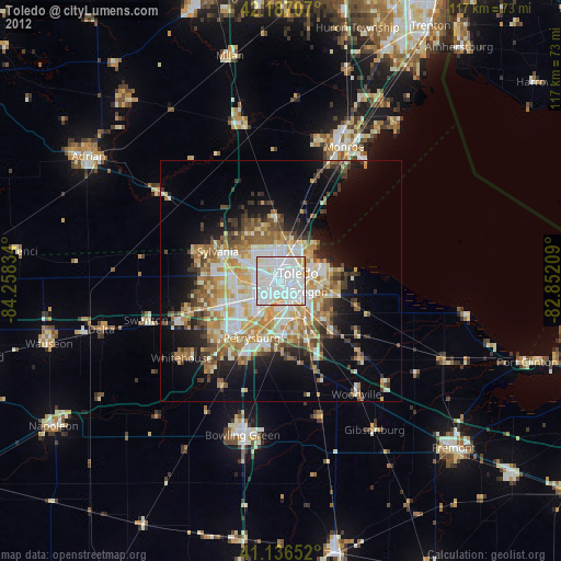
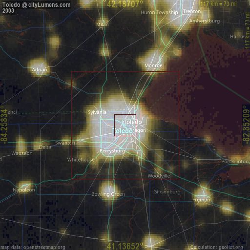
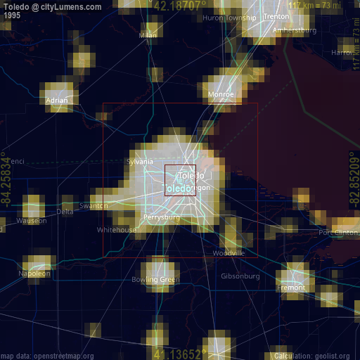
Toledo night lights from space
Night Light of Toledo (Ohio) from space (United States) Src. Average luminocity for 10x10km area is 98.2208% and for 50x50km: 27.7281%.
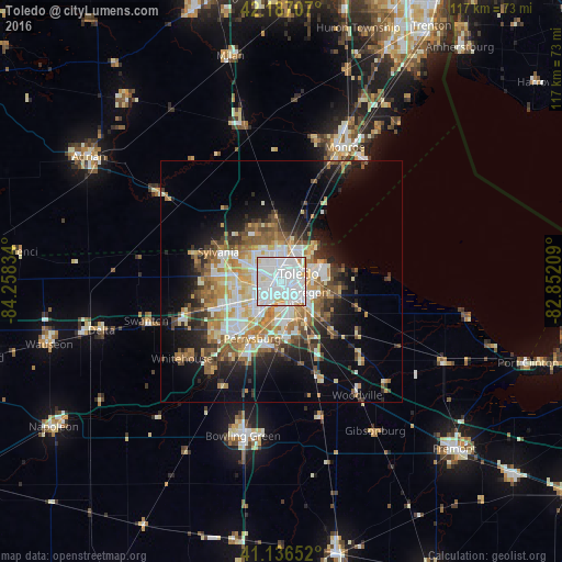
Analysis of Toledo night lights 2016
Square area 10x10 km:
 65.58%
90-99
28.25%80-89
3.73%70-79
1.95%60-69
0.49%50-59
0%40-49
0%30-39
0%20-29
0%10-19
0%0-9
0%Square area 50x50 km:
6.04%90-99
5.75%80-89
3.02%70-79
3.69%60-69
4.26%50-59
3.38%40-49
3.06%30-39
3.2%20-29
4.98%10-19
9.89%0-9
52.73%Clear (daylight) street map image can be seen on geolist.org.
Map coordinates:
42° 11' 13.5" North, 84° 15' 30" West
41° 39' 50.2" North, 83° 33' 18.8" West
41° 8' 11.5" North, 82° 51' 7.5" West
Some cities around Toledo sort by population:
• Perrysburg
13.3 km =8.3 mi,  206°
206°
• Oregon
6.1 km =3.8 mi,  111°
111°
• Sylvania
14.5 km =9 mi,  295°
295°
• Maumee
13.9 km =8.6 mi,  216°
216°
• Lambertville
12.8 km =8 mi,  331°
331°
• Temperance
12.9 km =8 mi,  354°
354°
• Rossford
6.1 km =3.8 mi,  187°
187°
• Northwood
9.6 km =6 mi,  131°
131°
5174035 (p: 279,789)
Sources (retrieved 2019-11-25):
» NASA, Earths city lights 1995
» NASA city lights 2003
» Earth at Night: Flat Maps 2012, 2016