Perrysburg night lights from space
Night Light of Perrysburg (Ohio) from space (United States) Src. Average luminocity for 10x10km area is 72.8503% and for 50x50km: 28.7104%.
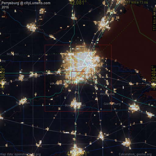
Analysis of Perrysburg night lights 2016
Square area 10x10 km:
 15.14%
90-99
18.88%80-89
7.99%70-79
15.31%60-69
18.71%50-59
8.84%40-49
2.04%30-39
3.23%20-29
8.33%10-19
1.53%0-9
0%Square area 50x50 km:
6.28%90-99
6.12%80-89
3.38%70-79
3.68%60-69
4.27%50-59
3.55%40-49
3.05%30-39
3.21%20-29
4.89%10-19
10.29%0-9
51.28%Clear (daylight) street map image can be seen on geolist.org.
Map coordinates:
42° 4' 51.6" North, 84° 19' 49" West
41° 33' 25.2" North, 83° 37' 37.8" West
41° 1' 43.4" North, 82° 55' 26.5" West
Some cities around Perrysburg sort by population:
• Toledo
13.3 km =8.3 mi,  26°
26°
• Bowling Green
20.4 km =12.7 mi,  185°
185°
• Oregon
15.1 km =9.4 mi,  50°
50°
• Sylvania
19.4 km =12.1 mi,  338°
338°
• Maumee
2.3 km =1.4 mi,  286°
286°
• Rossford
7.9 km =4.9 mi,  41°
41°
• Waterville
9.8 km =6.1 mi,  230°
230°
• Northwood
14.3 km =8.9 mi,  67°
67°
5166516 (p: 21,423)
Sources (retrieved 2019-11-25):
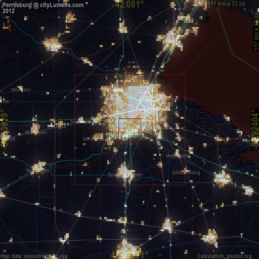
» Earth at Night: Flat Maps 2012, 2016