West Orange night lights from space
Night Light of West Orange (New Jersey) from space (United States) Src. Average luminocity for 10x10km area is 92.517% and for 50x50km: 79.58%.
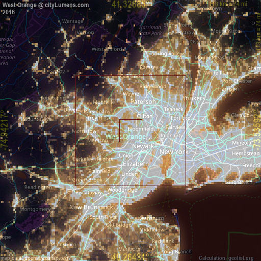
Analysis of West Orange night lights 2016
Square area 10x10 km:
 35.37%
90-99
31.12%80-89
17.52%70-79
15.48%60-69
0.51%50-59
0%40-49
0%30-39
0%20-29
0%10-19
0%0-9
0%Square area 50x50 km:
32.72%90-99
18.48%80-89
8.73%70-79
11.32%60-69
10.23%50-59
6.19%40-49
2.82%30-39
2.38%20-29
2.7%10-19
1.93%0-9
2.51%Clear (daylight) street map image can be seen on geolist.org.
Map coordinates:
41° 19' 43.9" North, 74° 56' 31.8" West
40° 47' 55.4" North, 74° 14' 20.5" West
40° 15' 51.5" North, 73° 32' 9.3" West
Some cities around West Orange sort by population:
• East Orange
4.5 km =2.8 mi,  140°
140°
• Bloomfield
4.6 km =2.9 mi,  78°
78°
• Montclair
3.9 km =2.4 mi,  39°
39°
• Orange
3.2 km =2 mi,  170°
170°
• Verona
3.5 km =2.2 mi,  358°
358°
• Caldwell
5.6 km =3.5 mi,  325°
325°
• Glen Ridge
3.1 km =1.9 mi, 75°
• Roseland
5.2 km =3.2 mi,  297°
297°
5106298 (p: 48,131)
Sources (retrieved 2019-11-25):
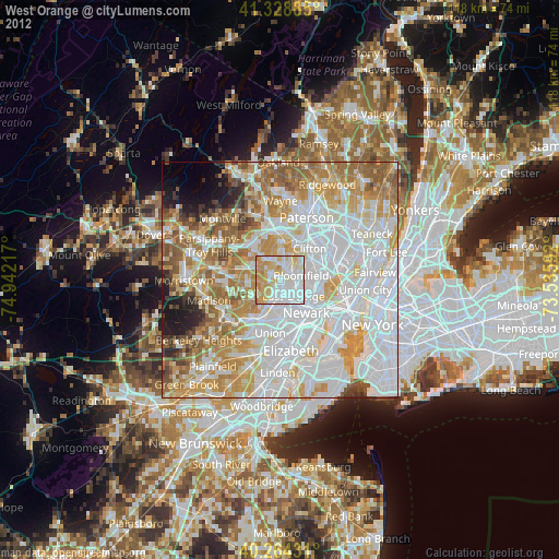
» Earth at Night: Flat Maps 2012, 2016