Benbrook night lights from space
Night Light of Benbrook (Texas) from space (United States) Src. Average luminocity for 10x10km area is 66.486% and for 50x50km: 48.7354%.
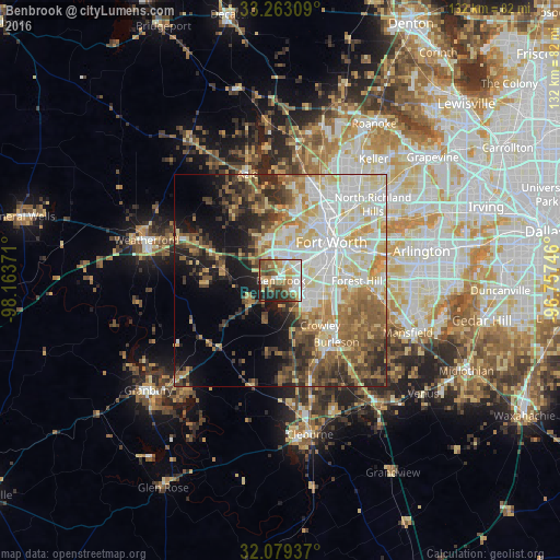
Analysis of Benbrook night lights 2016
Square area 10x10 km:
 14.34%
90-99
14.69%80-89
9.62%70-79
9.79%60-69
11.01%50-59
11.01%40-49
9.97%30-39
5.77%20-29
9.27%10-19
4.55%0-9
0%Square area 50x50 km:
10.7%90-99
10.79%80-89
8.22%70-79
6.07%60-69
6.38%50-59
7.02%40-49
5.87%30-39
5.75%20-29
6.54%10-19
9.15%0-9
23.52%Clear (daylight) street map image can be seen on geolist.org.
Map coordinates:
33° 15' 47.1" North, 98° 9' 49.4" West
32° 40' 23.5" North, 97° 27' 38.1" West
32° 4' 45.7" North, 96° 45' 26.9" West
Some cities around Benbrook sort by population:
• Fort Worth
14.3 km =8.9 mi,  66°
66°
• Burleson
19.6 km =12.2 mi,  138°
138°
• White Settlement
9.6 km =6 mi,  1°
1°
• Crowley
13.9 km =8.6 mi, 138°
• Forest Hill
17.9 km =11.1 mi,  90°
90°
• River Oaks
13.1 km =8.1 mi,  28°
28°
• Kennedale
22.2 km =13.8 mi,  97°
97°
• Everman
16.7 km =10.4 mi,  106°
106°
4673482 (p: 22,629)
Sources (retrieved 2019-11-25):
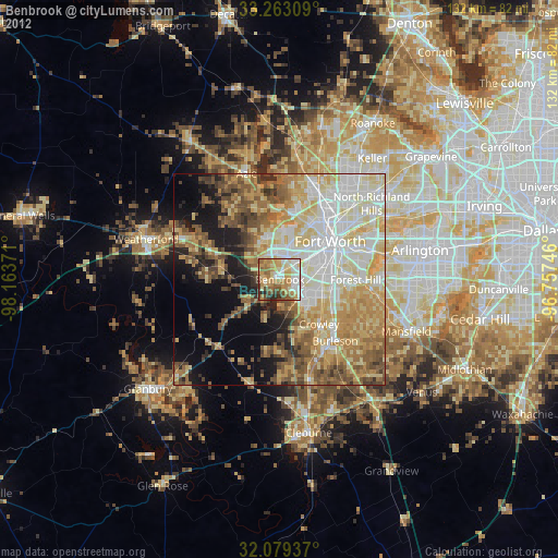
» Earth at Night: Flat Maps 2012, 2016