Baton Rouge night lights from space
Night Light of Baton Rouge (Louisiana) from space (United States) Src. Average luminocity for 10x10km area is 92.641% and for 50x50km: 47.9684%.
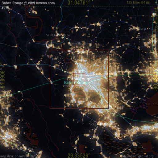
Analysis of Baton Rouge night lights 2016
Square area 10x10 km:
 48.53%
90-99
26.01%80-89
6.04%70-79
10.26%60-69
7.88%50-59
1.28%40-49
0%30-39
0%20-29
0%10-19
0%0-9
0%Square area 50x50 km:
11.04%90-99
8.26%80-89
7.67%70-79
8.8%60-69
7.92%50-59
5.64%40-49
7.16%30-39
5.19%20-29
4.95%10-19
6.16%0-9
27.21%Clear (daylight) street map image can be seen on geolist.org.
Map coordinates:
31° 2' 51.4" North, 91° 53' 26.2" West
30° 26' 36" North, 91° 11' 14.9" West
29° 50' 6.9" North, 90° 29' 3.7" West
Some cities around Baton Rouge sort by population:
• Gardere
11.8 km =7.3 mi,  157°
157°
• Merrydale
9.9 km =6.2 mi,  49°
49°
• Oak Hills Place
13.3 km =8.3 mi,  134°
134°
• Village Saint George
14.6 km =9.1 mi, 128°
• Inniswold
10.9 km =6.8 mi,  113°
113°
• Brownsfield
13.1 km =8.1 mi,  29°
29°
• Monticello
14.2 km =8.8 mi,  69°
69°
• Port Allen
2.4 km =1.5 mi,  294°
294°
4315588 (p: 228,590)
Sources (retrieved 2019-11-25):
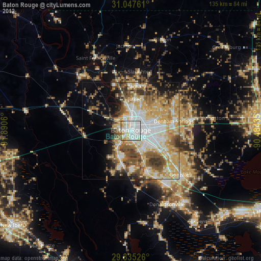
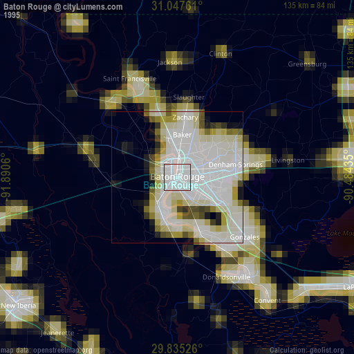
» NASA, Earths city lights 1995
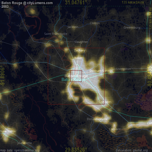
» NASA city lights 2003
» Earth at Night: Flat Maps 2012, 2016