Bartlesville night lights from space
Night Light of Bartlesville (Oklahoma) from space (United States) Src. Average luminocity for 10x10km area is 41.6643% and for 50x50km: 3.3798%.
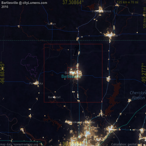
Analysis of Bartlesville night lights 2016
Square area 10x10 km:
 6.82%
6.82%90-99
5.07%80-89
7.17%70-79
4.9%60-69
8.22%50-59
7.69%40-49
5.42%30-39
3.5%20-29
13.46%10-19
21.15%0-9
16.61%Square area 50x50 km:
0.35%90-99
0.34%80-89
0.54%70-79
0.32%60-69
0.69%50-59
0.65%40-49
0.39%30-39
0.41%20-29
0.86%10-19
2.51%0-9
92.95%Clear (daylight) street map image can be seen on geolist.org.
Map coordinates:
37° 18' 31.1" North, 96° 41' 2.2" West
36° 44' 50.3" North, 95° 58' 51" West
36° 10' 54.6" North, 95° 16' 39.7" West
Some cities around Bartlesville sort by population:
• Tulsa
66 km =41 mi,  180°
180°
• Owasso
54.3 km =33.7 mi,  168°
168°
• Claremore
58.3 km =36.2 mi,  146°
146°
• Coffeyville
45.7 km =28.4 mi,  45°
45°
• Independence
58.3 km =36.2 mi,  24°
24°
• Skiatook
42.2 km =26.2 mi, 182°
• Catoosa
65.5 km =40.7 mi,  161°
161°
• Collinsville
44.4 km =27.6 mi, 163°
4529987 (p: 36,595)
Sources (retrieved 2019-11-25):
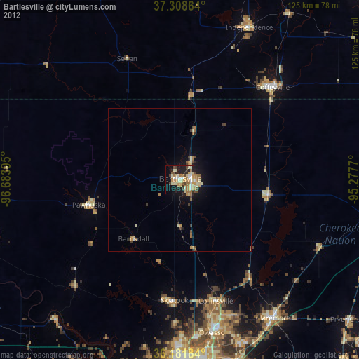
» Earth at Night: Flat Maps 2012, 2016