Owasso night lights from space
Night Light of Owasso (Oklahoma) from space (United States) Src. Average luminocity for 10x10km area is 58.257% and for 50x50km: 35.2891%.
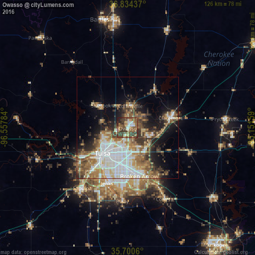
Analysis of Owasso night lights 2016
Square area 10x10 km:
 5.94%
5.94%90-99
8.39%80-89
8.74%70-79
6.29%60-69
10.31%50-59
19.23%40-49
16.08%30-39
19.93%20-29
3.32%10-19
1.75%0-9
0%Square area 50x50 km:
7.48%90-99
7.62%80-89
4.44%70-79
3.43%60-69
5.46%50-59
5.88%40-49
4.56%30-39
5.93%20-29
4.52%10-19
9.61%0-9
41.07%Clear (daylight) street map image can be seen on geolist.org.
Map coordinates:
36° 50' 3.7" North, 96° 33' 28.2" West
36° 16' 10.3" North, 95° 51' 17" West
35° 42' 2.2" North, 95° 9' 5.7" West
Some cities around Owasso sort by population:
• Tulsa
17.8 km =11.1 mi,  223°
223°
• Broken Arrow
24.8 km =15.4 mi,  166°
166°
• Jenks
29.3 km =18.2 mi,  200°
200°
• Sand Springs
27 km =16.8 mi,  237°
237°
• Claremore
21.9 km =13.6 mi,  77°
77°
• Skiatook
17.1 km =10.6 mi,  309°
309°
• Catoosa
13.3 km =8.3 mi,  132°
132°
• Collinsville
10.7 km =6.6 mi,  7°
7°
4547407 (p: 34,542)
Sources (retrieved 2019-11-25):
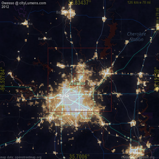
» Earth at Night: Flat Maps 2012, 2016