Colonia night lights from space
Night Light of Colonia (New Jersey) from space (United States) Src. Average luminocity for 10x10km area is 94.0471% and for 50x50km: 72.2973%.
Analysis of Colonia night lights 2016
Square area 10x10 km:
 41.56%
90-99
30.68%80-89
18.99%70-79
7.63%60-69
1.14%50-59
0%40-49
0%30-39
0%20-29
0%10-19
0%0-9
0%Square area 50x50 km:
23.84%90-99
16.62%80-89
8.42%70-79
10.35%60-69
10.42%50-59
9.37%40-49
5.18%30-39
4.39%20-29
4.63%10-19
4.06%0-9
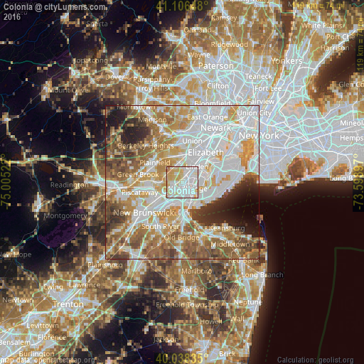
2.71%Clear (daylight) street map image can be seen on geolist.org.
Map coordinates:
41° 6' 23.3" North, 75° 0' 18.8" West
40° 34' 28.4" North, 74° 18' 7.5" West
40° 2' 18.1" North, 73° 35' 56.3" West
Some cities around Colonia sort by population:
• Linden
7.2 km =4.5 mi,  42°
42°
• Rahway
4.3 km =2.7 mi,  28°
28°
• Carteret
6.2 km =3.9 mi,  87°
87°
• Woodbridge
2.4 km =1.5 mi,  141°
141°
• Iselin
1.7 km =1.1 mi,  273°
273°
• Avenel
1.6 km =1 mi,  65°
65°
• Fords
5.2 km =3.2 mi,  193°
193°
• Metuchen
6.2 km =3.9 mi,  235°
235°
5096798 (p: 17,795)
Sources (retrieved 2019-11-25):
» Earth at Night: Flat Maps 2012, 2016