Auburn night lights from space
Night Light of Auburn (New Hampshire) from space (United States) Src. Average luminocity for 10x10km area is 11.0968% and for 50x50km: 17.0637%.
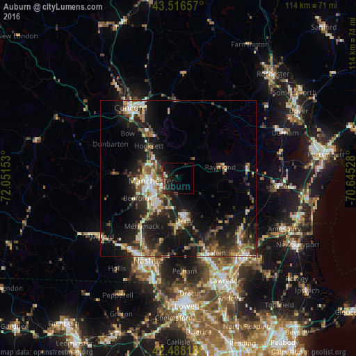
Analysis of Auburn night lights 2016
Square area 10x10 km:
 0.79%
0.79%90-99
1.11%80-89
0.32%70-79
0.48%60-69
0.48%50-59
1.75%40-49
3.02%30-39
2.38%20-29
7.14%10-19
16.19%0-9
66.35%Square area 50x50 km:
1.91%90-99
2.55%80-89
1.69%70-79
2.03%60-69
2.21%50-59
2.68%40-49
3.09%30-39
3.01%20-29
6.25%10-19
14.2%0-9
60.38%Clear (daylight) street map image can be seen on geolist.org.
Map coordinates:
43° 30' 59.7" North, 72° 3' 5.5" West
43° 0' 16.3" North, 71° 20' 54.2" West
42° 29' 17.4" North, 70° 38' 43" West
Some cities around Auburn sort by population:
• Manchester
8.7 km =5.4 mi,  263°
263°
• Derry Village
12.9 km =8 mi,  166°
166°
• Derry
13.9 km =8.6 mi, 172°
• Bedford
15.1 km =9.4 mi,  244°
244°
• Londonderry
15.6 km =9.7 mi,  187°
187°
• Sandown
15.6 km =9.7 mi,  122°
122°
• South Hooksett
7.5 km =4.7 mi,  289°
289°
• Chester
9.1 km =5.7 mi,  125°
125°
5082811 (p: 5,089)
Sources (retrieved 2019-11-25):
» Earth at Night: Flat Maps 2012, 2016