Chester night lights from space
Night Light of Chester (New Hampshire) from space (United States) Src. Average luminocity for 10x10km area is 1.4746% and for 50x50km: 20.9113%.
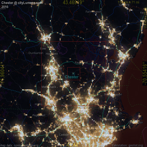
Analysis of Chester night lights 2016
Square area 10x10 km:
 0%
0%90-99
0%80-89
0%70-79
0%60-69
0%50-59
0%40-49
0%30-39
0.63%20-29
0.63%10-19
2.38%0-9
96.35%Square area 50x50 km:
2.24%90-99
3.06%80-89
2.12%70-79
2.57%60-69
2.9%50-59
3.73%40-49
3.69%30-39
3.64%20-29
7.56%10-19
16.39%0-9
52.12%Clear (daylight) street map image can be seen on geolist.org.
Map coordinates:
43° 28' 9.1" North, 71° 57' 37.5" West
42° 57' 24.3" North, 71° 15' 26.2" West
42° 26' 24" North, 70° 33' 15" West
Some cities around Chester sort by population:
• Derry Village
8.5 km =5.3 mi,  211°
211°
• Derry
10.2 km =6.3 mi, 213°
• Londonderry
13.9 km =8.6 mi,  222°
222°
• Hampstead
11 km =6.8 mi,  145°
145°
• Atkinson
15.9 km =9.9 mi, 145°
• Sandown
6.5 km =4 mi,  118°
118°
• South Hooksett
16.4 km =10.2 mi,  298°
298°
• Auburn
9.1 km =5.7 mi,  305°
305°
5084518 (p: 5,236)
Sources (retrieved 2019-11-25):
» Earth at Night: Flat Maps 2012, 2016