Derry Village night lights from space
Night Light of Derry Village (New Hampshire) from space (United States) Src. Average luminocity for 10x10km area is 30.5746% and for 50x50km: 25.615%.
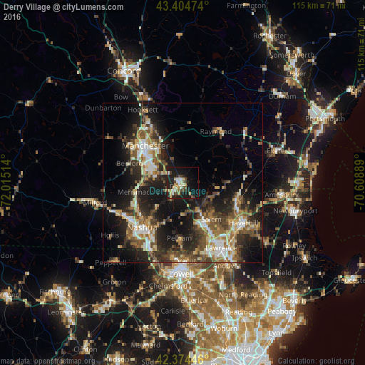
Analysis of Derry Village night lights 2016
Square area 10x10 km:
 4.44%
4.44%90-99
4.44%80-89
3.49%70-79
4.29%60-69
3.02%50-59
2.7%40-49
6.19%30-39
2.06%20-29
11.75%10-19
33.81%0-9
23.81%Square area 50x50 km:
3.03%90-99
4.07%80-89
2.78%70-79
3.11%60-69
3.5%50-59
4.58%40-49
4.72%30-39
4.57%20-29
9.44%10-19
16.25%0-9
43.94%Clear (daylight) street map image can be seen on geolist.org.
Map coordinates:
43° 24' 17.1" North, 72° 0' 54.5" West
42° 53' 30.3" North, 71° 18' 43.2" West
42° 22' 28.1" North, 70° 36' 32" West
Some cities around Derry Village sort by population:
• Salem
14.6 km =9.1 mi,  141°
141°
• Windham
10.2 km =6.3 mi,  176°
176°
• Londonderry
5.9 km =3.7 mi,  239°
239°
• Hampstead
10.8 km =6.7 mi,  100°
100°
• Atkinson
14.7 km =9.1 mi,  113°
113°
• Sandown
11 km =6.8 mi,  68°
68°
• Chester
8.5 km =5.3 mi,  31°
31°
• Auburn
12.9 km =8 mi,  346°
346°
5085382 (p: 34,539)
Sources (retrieved 2019-11-25):
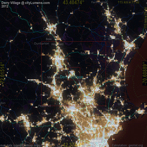
» Earth at Night: Flat Maps 2012, 2016