Angola night lights from space
Night Light of Angola (Indiana) from space (United States) Src. Average luminocity for 10x10km area is 19.5179% and for 50x50km: 4.1192%.
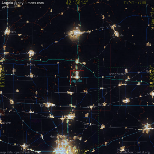
Analysis of Angola night lights 2016
Square area 10x10 km:
 3.25%
3.25%90-99
2.27%80-89
1.62%70-79
2.27%60-69
1.95%50-59
2.11%40-49
3.73%30-39
2.44%20-29
5.52%10-19
15.1%0-9
59.74%Square area 50x50 km:
0.42%90-99
0.39%80-89
0.67%70-79
0.38%60-69
0.49%50-59
0.48%40-49
0.75%30-39
0.57%20-29
0.91%10-19
2.8%0-9
92.14%Clear (daylight) street map image can be seen on geolist.org.
Map coordinates:
42° 9' 29.3" North, 85° 42' 9.1" West
41° 38' 5.2" North, 84° 59' 57.9" West
41° 6' 25.6" North, 84° 17' 46.6" West
Some cities around Angola sort by population:
• Auburn
30.2 km =18.8 mi,  189°
189°
• Sturgis
39.3 km =24.4 mi,  297°
297°
• Coldwater
34 km =21.1 mi,  359°
359°
• Kendallville
30.8 km =19.1 mi,  225°
225°
• Bryan
41.2 km =25.6 mi,  115°
115°
• Hillsdale
44.1 km =27.4 mi,  43°
43°
• Garrett
33.7 km =20.9 mi,  199°
199°
• Huntertown
47.4 km =29.5 mi, 197°
4917614 (p: 8,644)
Sources (retrieved 2019-11-25):
» Earth at Night: Flat Maps 2012, 2016