Wobulenzi night lights from space
Night Light of Wobulenzi (Central Region) from space (Uganda) Src. Average luminocity for 10x10km area is 0.0952% and for 50x50km: 0.0993%.
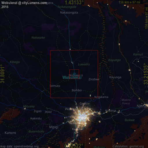
Analysis of Wobulenzi night lights 2016
Square area 10x10 km:
 0%
0%90-99
0%80-89
0%70-79
0%60-69
0%50-59
0%40-49
0%30-39
0%20-29
0%10-19
0%0-9
100%Square area 50x50 km:
0.02%90-99
0.02%80-89
0%70-79
0%60-69
0%50-59
0%40-49
0.04%30-39
0.06%20-29
0%10-19
0.03%0-9
99.83%Clear (daylight) street map image can be seen on geolist.org.
Map coordinates:
1° 25' 52.8" North, 31° 48' 32.8" East
0° 43' 42" North, 32° 30' 44" East
0° 1' 30.8" North, 33° 12' 55.3" East
Some cities around Wobulenzi sort by population:
• Kampala
46.5 km =28.9 mi,  170°
170°
• Mukono
49.7 km =30.9 mi,  147°
147°
• Luwero
14.1 km =8.8 mi,  342°
342°
• Namasuba
11 km =6.8 mi,  246°
246°
• Kayunga
41.9 km =26 mi,  93°
93°
• Wakiso
36.5 km =22.7 mi,  189°
189°
• Kireka
45 km =28 mi,  160°
160°
• Bweyogerere
44.5 km =27.7 mi, 157°
225858 (p: 24,415)
Sources (retrieved 2019-11-25):
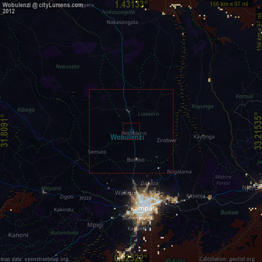
» Earth at Night: Flat Maps 2012, 2016