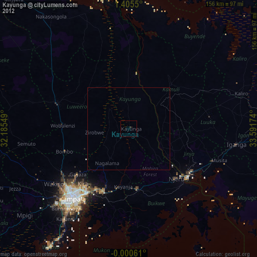
Kayunga night lights from space
Night Light of Kayunga (Central Region) from space (Uganda) Src. Average luminocity for 10x10km area is 0% and for 50x50km: 0.1597%.

Analysis of Kayunga night lights 2016
Square area 10x10 km:
 0%
0%90-99
0%80-89
0%70-79
0%60-69
0%50-59
0%40-49
0%30-39
0%20-29
0%10-19
0%0-9
100%Square area 50x50 km:
0.01%90-99
0.04%80-89
0%70-79
0%60-69
0%50-59
0.03%40-49
0.04%30-39
0.05%20-29
0.09%10-19
0.04%0-9
99.69%Clear (daylight) street map image can be seen on geolist.org.
Map coordinates:
1° 24' 19.8" North, 32° 11' 7.8" East
0° 42' 9" North, 32° 53' 19" East
0° 0' 2.2" South, 33° 35' 30.3" East
Some cities around Kayunga sort by population:
• Jinja
45.6 km =28.3 mi,  129°
129°
• Mukono
41.6 km =25.8 mi,  200°
200°
• Njeru
43.4 km =27 mi, 131°
• Lugazi
37.6 km =23.4 mi,  171°
171°
• Wobulenzi
41.9 km =26 mi,  273°
273°
• Buwenge
32 km =19.9 mi,  100°
100°
• Kamuli
37.4 km =23.2 mi,  43°
43°
• Bweyogerere
45.8 km =28.5 mi,  213°
213°
231696 (p: 21,704)
Sources (retrieved 2019-11-25):
» Earth at Night: Flat Maps 2012, 2016