Luwero night lights from space
Night Light of Luwero (Central Region) from space (Uganda) Src. Average luminocity for 10x10km area is 0.7662% and for 50x50km: 0.0666%.
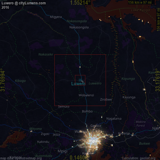
Analysis of Luwero night lights 2016
Square area 10x10 km:
 0%
0%90-99
0%80-89
0%70-79
0%60-69
0%50-59
0%40-49
0.65%30-39
1.08%20-29
0%10-19
0%0-9
98.27%Square area 50x50 km:
0%90-99
0%80-89
0.03%70-79
0%60-69
0%50-59
0%40-49
0.03%30-39
0.04%20-29
0%10-19
0%0-9
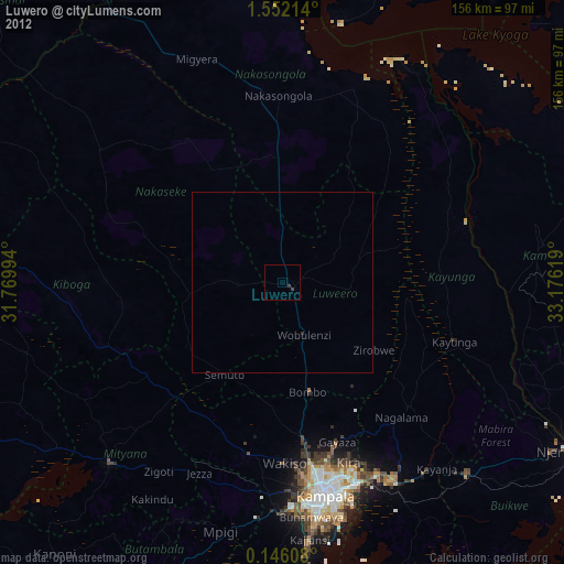
99.9%Clear (daylight) street map image can be seen on geolist.org.
Map coordinates:
1° 33' 7.7" North, 31° 46' 11.8" East
0° 50' 57" North, 32° 28' 23" East
0° 8' 45.9" North, 33° 10' 34.3" East
Some cities around Luwero sort by population:
• Kampala
60.5 km =37.6 mi,  168°
168°
• Wobulenzi
14.1 km =8.8 mi,  162°
162°
• Namasuba
18.7 km =11.6 mi,  197°
197°
• Kayunga
49 km =30.4 mi,  109°
109°
• Wakiso
49.5 km =30.8 mi,  181°
181°
• Kireka
59.1 km =36.7 mi, 160°
• Bweyogerere
58.6 km =36.4 mi, 158°
• Nakasongola
51.1 km =31.8 mi,  357°
357°
229746 (p: 28,338)
Sources (retrieved 2019-11-25):
» Earth at Night: Flat Maps 2012, 2016