Kireka night lights from space
Night Light of Kireka (Central Region) from space (Uganda) Src. Average luminocity for 10x10km area is 62.3463% and for 50x50km: 13.2085%.
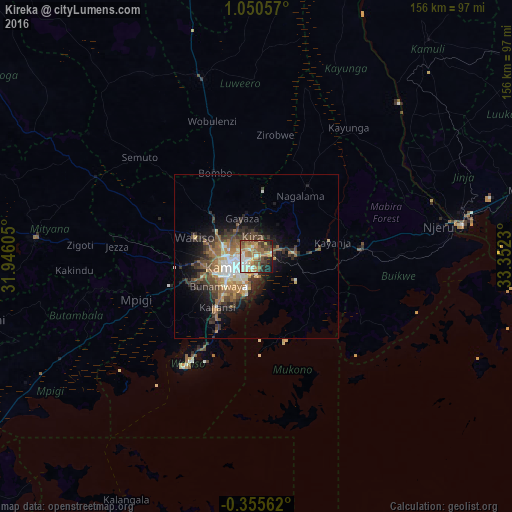
Analysis of Kireka night lights 2016
Square area 10x10 km:
 7.36%
7.36%90-99
14.07%80-89
6.93%70-79
12.77%60-69
14.72%50-59
12.12%40-49
10.82%30-39
6.06%20-29
7.36%10-19
7.79%0-9
0%Square area 50x50 km:
1.51%90-99
1.95%80-89
1.17%70-79
1.75%60-69
2.69%50-59
2.35%40-49
2.86%30-39
2.71%20-29
3.03%10-19
6.5%0-9
73.49%Clear (daylight) street map image can be seen on geolist.org.
Map coordinates:
1° 3' 2.1" North, 31° 56' 45.8" East
0° 20' 51" North, 32° 38' 57" East
0° 21' 20.2" South, 33° 21' 8.3" East
Some cities around Kireka sort by population:
• Kampala
8.2 km =5.1 mi,  245°
245°
• Mukono
11.8 km =7.3 mi,  86°
86°
• Entebbe
37.5 km =23.3 mi,  210°
210°
• Lugazi
32.1 km =19.9 mi, 85°
• Wakiso
22 km =13.7 mi,  286°
286°
• Bweyogerere
1.9 km =1.2 mi,  54°
54°
• Mpigi
39.7 km =24.7 mi, 249°
• Kajansi
19.4 km =12.1 mi,  220°
220°
231139 (p: 17,947)
Sources (retrieved 2019-11-25):
» Earth at Night: Flat Maps 2012, 2016