Mbale night lights from space
Night Light of Mbale (Eastern Region) from space (Uganda) Src. Average luminocity for 10x10km area is 6.368% and for 50x50km: 0.2637%.
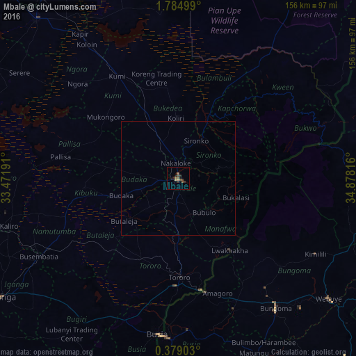
Analysis of Mbale night lights 2016
Square area 10x10 km:
 0%
0%90-99
0%80-89
0%70-79
2.38%60-69
0.43%50-59
3.25%40-49
1.52%30-39
1.95%20-29
1.52%10-19
0.87%0-9
88.1%Square area 50x50 km:
0%90-99
0%80-89
0%70-79
0.1%60-69
0.02%50-59
0.13%40-49
0.06%30-39
0.08%20-29
0.06%10-19
0.07%0-9
99.49%Clear (daylight) street map image can be seen on geolist.org.
Map coordinates:
1° 47' 6" North, 33° 28' 18.9" East
1° 4' 55.5" North, 34° 10' 30.1" East
0° 22' 44.5" North, 34° 52' 41.4" East
Some cities around Mbale sort by population:
• Busia, KE
69.5 km =43.2 mi,  185°
185°
• Busia
69.1 km =42.9 mi, 187°
• Tororo
43.3 km =26.9 mi,  179°
179°
• Pallisa
52.2 km =32.4 mi,  277°
277°
• Sironko
18.5 km =11.5 mi,  25°
25°
• Kumi
49.8 km =30.9 mi,  327°
327°
• Kapchorwa
46.8 km =29.1 mi,  40°
40°
• Malaba, KE
51.1 km =31.8 mi,  166°
166°
229278 (p: 76,493)
Sources (retrieved 2019-11-25):
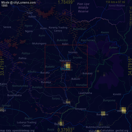
» NASA, Earths city lights 1995
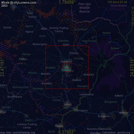
» NASA city lights 2003
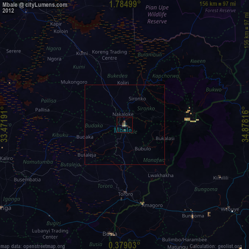
» Earth at Night: Flat Maps 2012, 2016