Masaka night lights from space
Night Light of Masaka (Central Region) from space (Uganda) Src. Average luminocity for 10x10km area is 11.0346% and for 50x50km: 0.5162%.
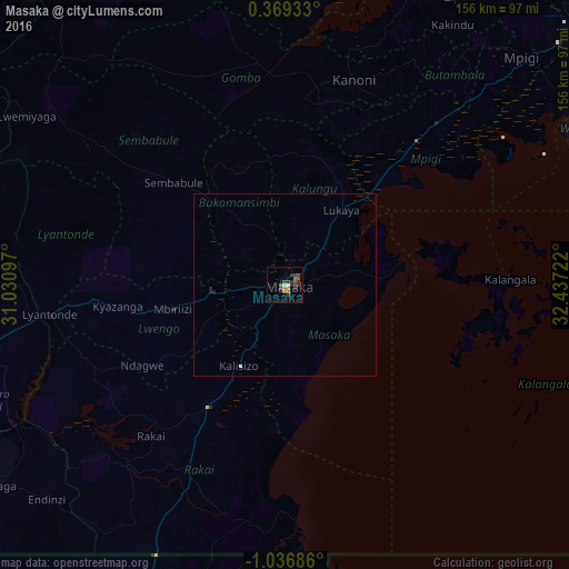
Analysis of Masaka night lights 2016
Square area 10x10 km:
 0.43%
0.43%90-99
0.87%80-89
0.43%70-79
0.22%60-69
3.25%50-59
2.6%40-49
2.16%30-39
6.71%20-29
3.25%10-19
0%0-9
80.09%Square area 50x50 km:
0.02%90-99
0.03%80-89
0.05%70-79
0.01%60-69
0.13%50-59
0.1%40-49
0.09%30-39
0.27%20-29
0.21%10-19
0.03%0-9
99.07%Clear (daylight) street map image can be seen on geolist.org.
Map coordinates:
0° 22' 9.6" North, 31° 1' 51.5" East
0° 20' 1.6" South, 31° 44' 2.7" East
1° 2' 12.7" South, 32° 26' 14" East
Some cities around Masaka sort by population:
• Entebbe
93.5 km =58.1 mi,  62°
62°
• Mityana
89.5 km =55.6 mi,  21°
21°
• Nsunga, TZ
97.7 km =60.7 mi,  202°
202°
• Mpigi
89.5 km =55.6 mi,  46°
46°
• Kyotera
39.5 km =24.5 mi,  217°
217°
• Lyantonde
64.6 km =40.1 mi,  263°
263°
• Byakabanda
58.2 km =36.2 mi, 218°
• Kasaali
37.5 km =23.3 mi,  213°
213°
229380 (p: 65,373)
Sources (retrieved 2019-11-25):
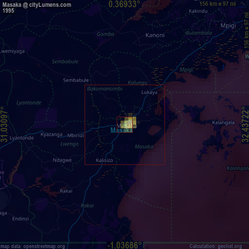
» NASA, Earths city lights 1995
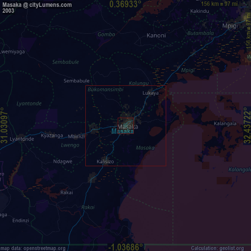
» NASA city lights 2003
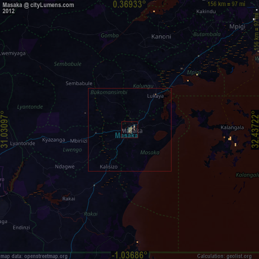
» Earth at Night: Flat Maps 2012, 2016