Lyantonde night lights from space
Night Light of Lyantonde (Central Region) from space (Uganda) Src. Average luminocity for 10x10km area is 0.1732% and for 50x50km: 0.0332%.
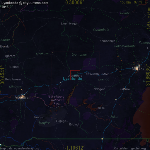
Analysis of Lyantonde night lights 2016
Square area 10x10 km:
 0%
0%90-99
0%80-89
0%70-79
0%60-69
0%50-59
0%40-49
0%30-39
0%20-29
0%10-19
0.87%0-9
99.13%Square area 50x50 km:
0%90-99
0%80-89
0%70-79
0%60-69
0%50-59
0%40-49
0.03%30-39
0.03%20-29
0%10-19
0.03%0-9
99.9%Clear (daylight) street map image can be seen on geolist.org.
Map coordinates:
0° 18' 0.2" North, 30° 27' 14.8" East
0° 24' 11" South, 31° 9' 26" East
1° 6' 22" South, 31° 51' 37.3" East
Some cities around Lyantonde sort by population:
• Mbarara
60.8 km =37.8 mi,  248°
248°
• Bwizibwera
62.4 km =38.8 mi, 250°
• Masaka
64.6 km =40.1 mi,  83°
83°
• Ibanda
79.4 km =49.3 mi,  292°
292°
• Kiruhura
41.7 km =25.9 mi,  303°
303°
• Kyotera
46.5 km =28.9 mi,  120°
120°
• Byakabanda
46.8 km =29.1 mi,  143°
143°
• Kasaali
49.7 km =30.9 mi, 118°
229599 (p: 8,039)
Sources (retrieved 2019-11-25):
» Earth at Night: Flat Maps 2012, 2016