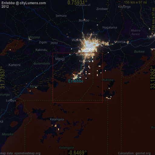
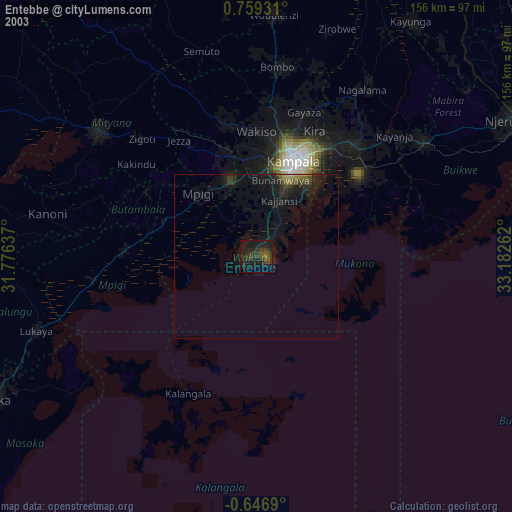
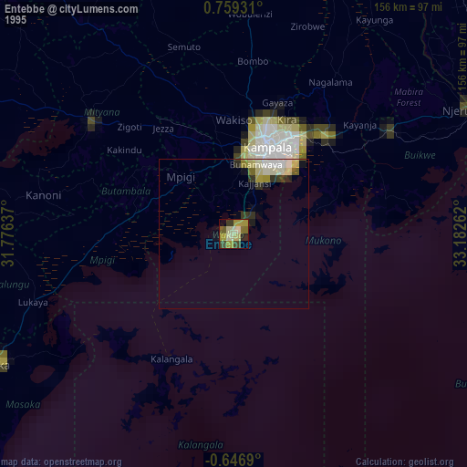
Entebbe night lights from space
Night Light of Entebbe (Central Region) from space (Uganda) Src. Average luminocity for 10x10km area is 18.0455% and for 50x50km: 4.2683%.

Analysis of Entebbe night lights 2016
Square area 10x10 km:
 3.03%
3.03%90-99
1.3%80-89
3.25%70-79
1.95%60-69
1.52%50-59
5.63%40-49
1.95%30-39
1.08%20-29
1.08%10-19
2.38%0-9
76.84%Square area 50x50 km:
0.29%90-99
0.21%80-89
0.54%70-79
0.67%60-69
0.86%50-59
0.79%40-49
0.84%30-39
1.06%20-29
1.14%10-19
2.47%0-9
91.13%Clear (daylight) street map image can be seen on geolist.org.
Map coordinates:
0° 45' 33.5" North, 31° 46' 34.9" East
0° 3' 22.4" North, 32° 28' 46.2" East
0° 38' 48.8" South, 33° 10' 57.4" East
Some cities around Entebbe sort by population:
• Kampala
31.1 km =19.3 mi,  21°
21°
• Mukono
45.1 km =28 mi,  42°
42°
• Lugazi
61.6 km =38.3 mi,  55°
55°
• Wakiso
38.8 km =24.1 mi,  356°
356°
• Kireka
37.5 km =23.3 mi,  30°
30°
• Bweyogerere
39.3 km =24.4 mi, 31°
• Mpigi
26.3 km =16.3 mi,  315°
315°
• Kajansi
18.7 km =11.6 mi, 19°
233508 (p: 62,969)
Sources (retrieved 2019-11-25):
» NASA, Earths city lights 1995
» NASA city lights 2003
» Earth at Night: Flat Maps 2012, 2016