Byakabanda night lights from space
Night Light of Byakabanda (Central Region) from space (Uganda) Src. Average luminocity for 10x10km area is 0% and for 50x50km: 0.0734%.
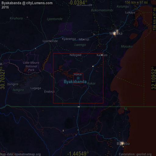
Analysis of Byakabanda night lights 2016
Square area 10x10 km:
 0%
0%90-99
0%80-89
0%70-79
0%60-69
0%50-59
0%40-49
0%30-39
0%20-29
0%10-19
0%0-9
100%Square area 50x50 km:
0%90-99
0%80-89
0.04%70-79
0.03%60-69
0%50-59
0%40-49
0%30-39
0.01%20-29
0.03%10-19
0%0-9
99.9%Clear (daylight) street map image can be seen on geolist.org.
Map coordinates:
0° 2' 21.8" South, 30° 42' 11.8" East
0° 44' 33" South, 31° 24' 23" East
1° 26' 43.8" South, 32° 6' 34.3" East
Some cities around Byakabanda sort by population:
• Bukoba, TZ
79.5 km =49.4 mi,  145°
145°
• Masaka
58.2 km =36.2 mi,  38°
38°
• Nsunga, TZ
44.6 km =27.7 mi,  181°
181°
• Kyaka, TZ
56.7 km =35.2 mi, 178°
• Katoro, TZ
73.8 km =45.9 mi,  171°
171°
• Kyotera
18.8 km =11.7 mi, 41°
• Lyantonde
46.8 km =29.1 mi,  323°
323°
• Kasaali
21.2 km =13.2 mi,  48°
48°
233725 (p: 7,608)
Sources (retrieved 2019-11-25):
» Earth at Night: Flat Maps 2012, 2016