Mityana night lights from space
Night Light of Mityana (Central Region) from space (Uganda) Src. Average luminocity for 10x10km area is 1.3009% and for 50x50km: 0.0583%.

Analysis of Mityana night lights 2016
Square area 10x10 km:
 0%
0%90-99
0%80-89
0%70-79
0%60-69
0.22%50-59
1.52%40-49
0%30-39
0.22%20-29
0.65%10-19
0%0-9
97.4%Square area 50x50 km:
0%90-99
0%80-89
0%70-79
0%60-69
0.01%50-59
0.06%40-49
0%30-39
0.01%20-29
0.03%10-19
0.03%0-9
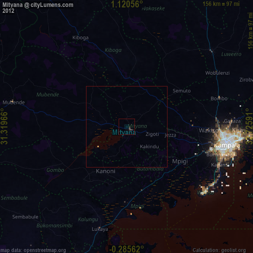
99.86%Clear (daylight) street map image can be seen on geolist.org.
Map coordinates:
1° 7' 14" North, 31° 19' 10.8" East
0° 25' 3" North, 32° 1' 22" East
0° 17' 8.2" South, 32° 43' 33.3" East
Some cities around Mityana sort by population:
• Kampala
63.2 km =39.3 mi,  100°
100°
• Entebbe
64.7 km =40.2 mi,  128°
128°
• Wobulenzi
64.5 km =40.1 mi,  57°
57°
• Namasuba
53.7 km =33.4 mi, 55°
• Wakiso
48.6 km =30.2 mi,  91°
91°
• Kiboga
61.9 km =38.5 mi,  333°
333°
• Mpigi
38.8 km =24.1 mi,  123°
123°
• Kajansi
61.2 km =38 mi,  111°
111°
229139 (p: 41,131)
Sources (retrieved 2019-11-25):
» Earth at Night: Flat Maps 2012, 2016