Kyotera night lights from space
Night Light of Kyotera (Central Region) from space (Uganda) Src. Average luminocity for 10x10km area is 1.0043% and for 50x50km: 0.0785%.
Analysis of Kyotera night lights 2016
Square area 10x10 km:
 0%
0%90-99
0%80-89
0.22%70-79
0.65%60-69
0%50-59
0%40-49
0%30-39
0.22%20-29
0.65%10-19
0%0-9
98.27%Square area 50x50 km:
0%90-99
0%80-89
0.04%70-79
0.03%60-69
0%50-59
0%40-49
0%30-39
0.01%20-29
0.04%10-19
0%0-9
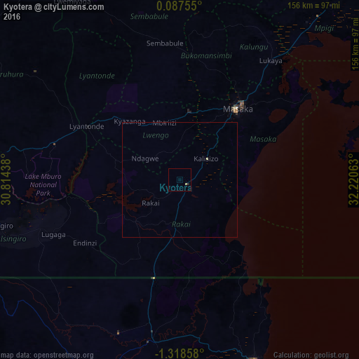
99.88%Clear (daylight) street map image can be seen on geolist.org.
Map coordinates:
0° 5' 15.2" North, 30° 48' 51.8" East
0° 36' 56" South, 31° 31' 3" East
1° 19' 6.9" South, 32° 13' 14.3" East
Some cities around Kyotera sort by population:
• Bukoba, TZ
86.1 km =53.5 mi,  157°
157°
• Masaka
39.5 km =24.5 mi,  37°
37°
• Nsunga, TZ
60.3 km =37.5 mi,  193°
193°
• Kyaka, TZ
71.6 km =44.5 mi, 188°
• Katoro, TZ
87.2 km =54.2 mi,  181°
181°
• Lyantonde
46.5 km =28.9 mi,  300°
300°
• Byakabanda
18.8 km =11.7 mi,  221°
221°
• Kasaali
3.6 km =2.2 mi,  91°
91°
230256 (p: 8,472)
Sources (retrieved 2019-11-25):
» Earth at Night: Flat Maps 2012, 2016