Kasaali night lights from space
Night Light of Kasaali (Central Region) from space (Uganda) Src. Average luminocity for 10x10km area is 1.0173% and for 50x50km: 0.0785%.
Analysis of Kasaali night lights 2016
Square area 10x10 km:
 0%
0%90-99
0%80-89
0.22%70-79
0.65%60-69
0%50-59
0%40-49
0%30-39
0.22%20-29
0.65%10-19
0%0-9
98.27%Square area 50x50 km:
0%90-99
0%80-89
0.04%70-79
0.03%60-69
0%50-59
0%40-49
0%30-39
0.01%20-29
0.04%10-19
0%0-9
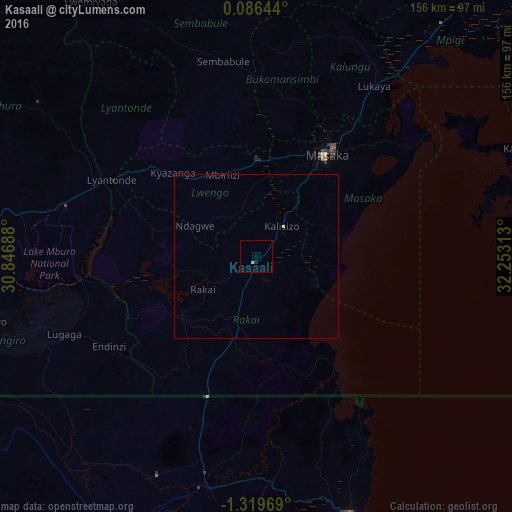
99.88%Clear (daylight) street map image can be seen on geolist.org.
Map coordinates:
0° 5' 11.2" North, 30° 50' 48.8" East
0° 37' 0" South, 31° 33' 0" East
1° 19' 10.9" South, 32° 15' 11.3" East
Some cities around Kasaali sort by population:
• Bukoba, TZ
84.7 km =52.6 mi,  159°
159°
• Masaka
37.5 km =23.3 mi,  33°
33°
• Nsunga, TZ
61.1 km =38 mi,  196°
196°
• Kyaka, TZ
72.1 km =44.8 mi,  191°
191°
• Katoro, TZ
87.2 km =54.2 mi,  183°
183°
• Kyotera
3.6 km =2.2 mi,  271°
271°
• Lyantonde
49.7 km =30.9 mi,  298°
298°
• Byakabanda
21.2 km =13.2 mi,  228°
228°
232146 (p: 0)
Sources (retrieved 2019-11-25):
» Earth at Night: Flat Maps 2012, 2016