Kiruhura night lights from space
Night Light of Kiruhura (Western Region) from space (Uganda) Src. Average luminocity for 10x10km area is 0% and for 50x50km: 0.0111%.
Analysis of Kiruhura night lights 2016
Square area 10x10 km:
 0%
0%90-99
0%80-89
0%70-79
0%60-69
0%50-59
0%40-49
0%30-39
0%20-29
0%10-19
0%0-9
100%Square area 50x50 km:
0%90-99
0%80-89
0%70-79
0%60-69
0%50-59
0%40-49
0%30-39
0.03%20-29
0%10-19
0%0-9
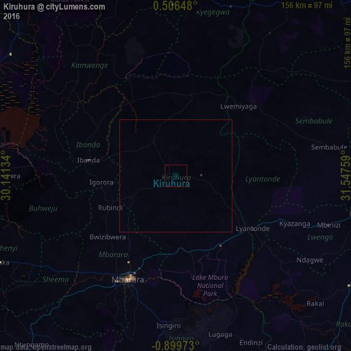
99.97%Clear (daylight) street map image can be seen on geolist.org.
Map coordinates:
0° 30' 23.3" North, 30° 8' 28.8" East
0° 11' 47.9" South, 30° 50' 40.1" East
0° 53' 59" South, 31° 32' 51.3" East
Some cities around Kiruhura sort by population:
• Mbarara
50.3 km =31.3 mi,  205°
205°
• Bwizibwera
50.1 km =31.1 mi, 208°
• Ibanda
39.3 km =24.4 mi,  280°
280°
• Kamwenge
60.8 km =37.8 mi,  314°
314°
• Kyotera
88.1 km =54.7 mi,  121°
121°
• Lyantonde
41.7 km =25.9 mi, 123°
• Byakabanda
87.1 km =54.1 mi,  134°
134°
• Kasaali
91.3 km =56.7 mi, 120°
231103 (p: 14,000)
Sources (retrieved 2019-11-25):
» Earth at Night: Flat Maps 2012, 2016