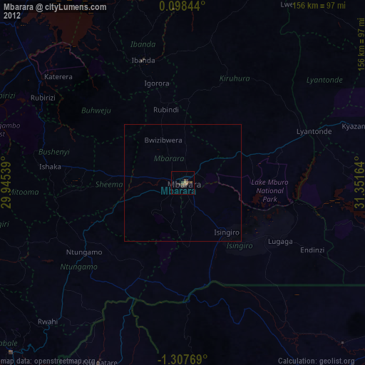
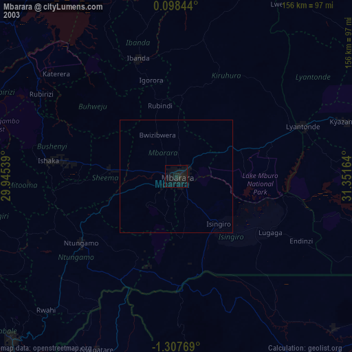
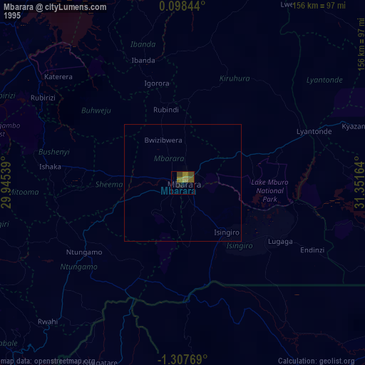
Mbarara night lights from space
Night Light of Mbarara (Western Region) from space (Uganda) Src. Average luminocity for 10x10km area is 11.2294% and for 50x50km: 0.5093%.
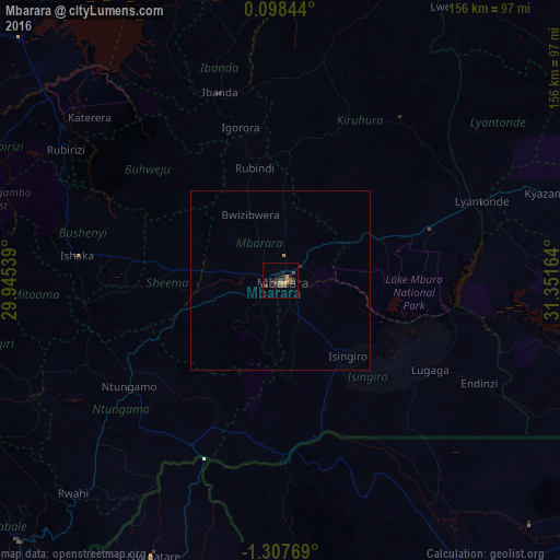
Analysis of Mbarara night lights 2016
Square area 10x10 km:
 0%
0%90-99
0%80-89
0%70-79
3.03%60-69
1.73%50-59
1.3%40-49
5.19%30-39
4.98%20-29
4.33%10-19
3.25%0-9
76.19%Square area 50x50 km:
0%90-99
0%80-89
0%70-79
0.16%60-69
0.07%50-59
0.05%40-49
0.21%30-39
0.2%20-29
0.21%10-19
0.13%0-9
98.98%Clear (daylight) street map image can be seen on geolist.org.
Map coordinates:
0° 5' 54.4" North, 29° 56' 43.4" East
0° 36' 16.8" South, 30° 38' 54.6" East
1° 18' 27.7" South, 31° 21' 5.9" East
Some cities around Mbarara sort by population:
• Bwizibwera
2.6 km =1.6 mi,  303°
303°
• Ibanda
55 km =34.2 mi,  342°
342°
• Nyachera
41.7 km =25.9 mi,  218°
218°
• Ntungamo
52.5 km =32.6 mi,  234°
234°
• Rukungiri
82.8 km =51.4 mi,  251°
251°
• Kiruhura
50.3 km =31.3 mi,  25°
25°
• Lyantonde
60.8 km =37.8 mi,  68°
68°
• Byakabanda
85.6 km =53.2 mi,  100°
100°
229268 (p: 97,500)
Sources (retrieved 2019-11-25):
» NASA, Earths city lights 1995
» NASA city lights 2003
» Earth at Night: Flat Maps 2012, 2016