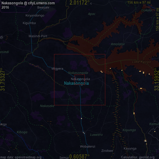
Nakasongola night lights from space
Night Light of Nakasongola (Central Region) from space (Uganda) Src. Average luminocity for 10x10km area is 0% and for 50x50km: 0.058%.
Analysis of Nakasongola night lights 2016
Square area 10x10 km:
 0%
0%90-99
0%80-89
0%70-79
0%60-69
0%50-59
0%40-49
0%30-39
0%20-29
0%10-19
0%0-9
100%Square area 50x50 km:
0%90-99
0%80-89
0.03%70-79
0.03%60-69
0%50-59
0%40-49
0%30-39
0%20-29
0%10-19
0%0-9
99.93%Clear (daylight) street map image can be seen on geolist.org.
Map coordinates:
2° 0' 42.2" North, 31° 45' 11.8" East
1° 18' 32" North, 32° 27' 23" East
0° 36' 21.1" North, 33° 9' 34.3" East
Some cities around Nakasongola sort by population:
• Luwero
51.1 km =31.8 mi,  177°
177°
• Wobulenzi
64.8 km =40.3 mi,  174°
174°
• Namasuba
69 km =42.9 mi, 183°
• Kayunga
82.8 km =51.4 mi,  144°
144°
• Kiboga
87.5 km =54.4 mi,  240°
240°
• Kamuli
84 km =52.2 mi,  118°
118°
• Apac
74.7 km =46.4 mi,  7°
7°
• Masindi Port
59.6 km =37 mi,  316°
316°
228418 (p: 6,921)
Sources (retrieved 2019-11-25):
» Earth at Night: Flat Maps 2012, 2016