Masindi night lights from space
Night Light of Masindi (Western Region) from space (Uganda) Src. Average luminocity for 10x10km area is 0% and for 50x50km: 0.0535%.
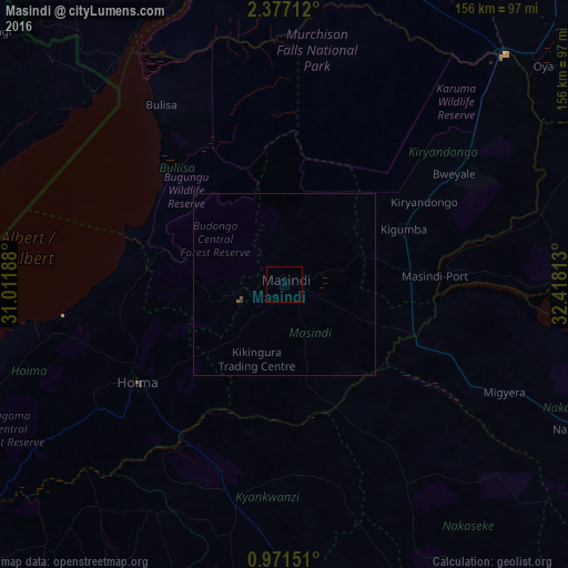
Analysis of Masindi night lights 2016
Square area 10x10 km:
 0%
0%90-99
0%80-89
0%70-79
0%60-69
0%50-59
0%40-49
0%30-39
0%20-29
0%10-19
0%0-9
100%Square area 50x50 km:
0%90-99
0%80-89
0%70-79
0%60-69
0%50-59
0.03%40-49
0.03%30-39
0.02%20-29
0.02%10-19
0%0-9
99.9%Clear (daylight) street map image can be seen on geolist.org.
Map coordinates:
2° 22' 37.6" North, 31° 0' 42.8" East
1° 40' 28" North, 31° 42' 54" East
0° 58' 17.4" North, 32° 25' 5.3" East
Some cities around Masindi sort by population:
• Hoima
48.4 km =30.1 mi,  236°
236°
• Nebbi
113.3 km =70.4 mi,  322°
322°
• Paidha
115.7 km =71.9 mi, 315°
• Kiboga
84.6 km =52.6 mi,  175°
175°
• Apac
97.5 km =60.6 mi,  69°
69°
• Nakasongola
91.9 km =57.1 mi,  116°
116°
• Kigorobya
45.6 km =28.3 mi,  261°
261°
• Kibale
121 km =75.2 mi,  216°
216°
229362 (p: 31,486)
Sources (retrieved 2019-11-25):
» Earth at Night: Flat Maps 2012, 2016