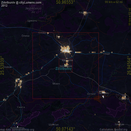
Zdolbuniv night lights from space
Night Light of Zdolbuniv (Rivne) from space (Ukraine) Src. Average luminocity for 10x10km area is 4.3585% and for 50x50km: 2.0578%.
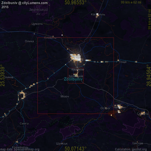
Analysis of Zdolbuniv night lights 2016
Square area 10x10 km:
 0%
0%90-99
0%80-89
0%70-79
0%60-69
0.7%50-59
1.68%40-49
3.22%30-39
0.42%20-29
1.26%10-19
0.28%0-9
92.44%Square area 50x50 km:
0.26%90-99
0.48%80-89
0.16%70-79
0.14%60-69
0.19%50-59
0.16%40-49
0.29%30-39
0.26%20-29
0.51%10-19
2.12%0-9
95.42%Clear (daylight) street map image can be seen on geolist.org.
Map coordinates:
50° 57' 55.9" North, 25° 32' 21.8" East
50° 31' 14.2" North, 26° 14' 33" East
50° 4' 17.1" North, 26° 56' 44.3" East
Some cities around Zdolbuniv sort by population:
• Rivne
11.4 km =7.1 mi,  354°
354°
• Dubno
37.8 km =23.5 mi,  252°
252°
• Slavuta
50.4 km =31.3 mi,  118°
118°
• Netishyn
34.7 km =21.6 mi,  125°
125°
• Kostopil’
42.4 km =26.3 mi,  20°
20°
• Ostroh
28.7 km =17.8 mi,  137°
137°
• Mlyniv
44.3 km =27.5 mi,  268°
268°
• Hoshcha
31.8 km =19.8 mi,  73°
73°
687432 (p: 23,697)
Sources (retrieved 2019-11-25):
» Earth at Night: Flat Maps 2012, 2016