Hoshcha night lights from space
Night Light of Hoshcha (Rivne) from space (Ukraine) Src. Average luminocity for 10x10km area is 0.6725% and for 50x50km: 0.3552%.
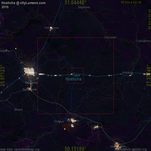
Analysis of Hoshcha night lights 2016
Square area 10x10 km:
 0%
0%90-99
0%80-89
0%70-79
0.53%60-69
0%50-59
0%40-49
0%30-39
0.53%20-29
0%10-19
0.53%0-9
98.4%Square area 50x50 km:
0.02%90-99
0.07%80-89
0%70-79
0.04%60-69
0.02%50-59
0.05%40-49
0.09%30-39
0.12%20-29
0.09%10-19
0.1%0-9
99.4%Clear (daylight) street map image can be seen on geolist.org.
Map coordinates:
51° 2' 40.1" North, 25° 58' 16.4" East
50° 36' 1.1" North, 26° 40' 27.7" East
50° 9' 6.8" North, 27° 22' 38.9" East
Some cities around Hoshcha sort by population:
• Rivne
31.6 km =19.6 mi,  274°
274°
• Slavuta
35.9 km =22.3 mi,  157°
157°
• Netishyn
29 km =18 mi,  184°
184°
• Kostopil’
34.7 km =21.6 mi,  333°
333°
• Zdolbuniv
31.8 km =19.8 mi,  253°
253°
• Ostroh
32.2 km =20 mi,  200°
200°
• Korets
34.4 km =21.4 mi,  86°
86°
• Horodnytsya
50.7 km =31.5 mi,  63°
63°
708257 (p: 5,084)
Sources (retrieved 2019-11-25):
» Earth at Night: Flat Maps 2012, 2016