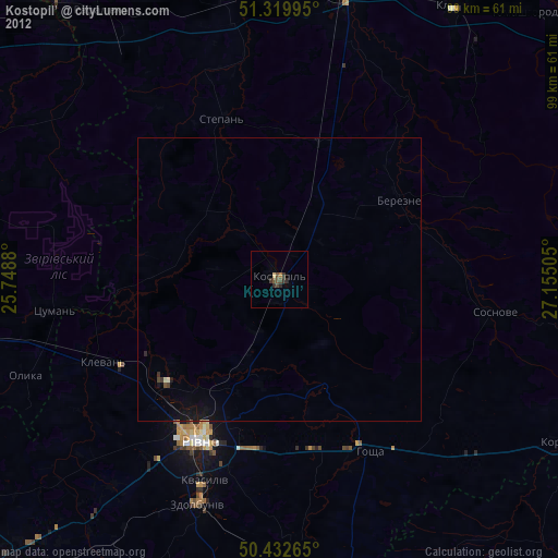
Kostopil’ night lights from space
Night Light of Kostopil’ (Rivne) from space (Ukraine) Src. Average luminocity for 10x10km area is 2.7073% and for 50x50km: 0.2761%.
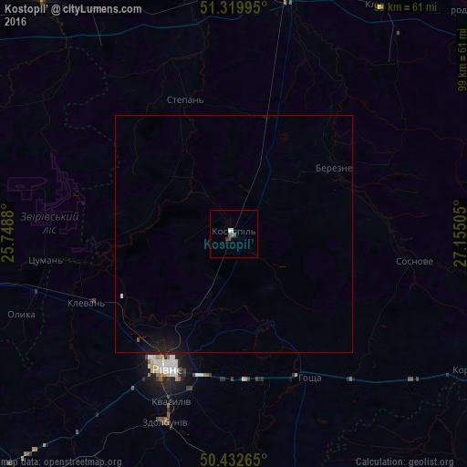
Analysis of Kostopil’ night lights 2016
Square area 10x10 km:
 0.7%
0.7%90-99
0.42%80-89
0%70-79
0%60-69
0%50-59
0.56%40-49
1.68%30-39
0.28%20-29
0.28%10-19
0%0-9
96.08%Square area 50x50 km:
0.04%90-99
0.03%80-89
0%70-79
0%60-69
0%50-59
0.03%40-49
0.08%30-39
0.01%20-29
0.02%10-19
0.53%0-9
99.27%Clear (daylight) street map image can be seen on geolist.org.
Map coordinates:
51° 19' 11.8" North, 25° 44' 55.7" East
50° 52' 42.3" North, 26° 27' 6.9" East
50° 25' 57.5" North, 27° 9' 18.2" East
Some cities around Kostopil’ sort by population:
• Rivne
32.5 km =20.2 mi,  209°
209°
• Netishyn
61.3 km =38.1 mi,  167°
167°
• Sarny
52.2 km =32.4 mi,  11°
11°
• Zdolbuniv
42.4 km =26.3 mi,  200°
200°
• Ostroh
61.2 km =38 mi,  175°
175°
• Korets
57.7 km =35.9 mi,  120°
120°
• Horodnytsya
61.2 km =38 mi,  97°
97°
• Hoshcha
34.7 km =21.6 mi,  153°
153°
704737 (p: 30,500)
Sources (retrieved 2019-11-25):
» Earth at Night: Flat Maps 2012, 2016