Rivne night lights from space
Night Light of Rivne from space (Ukraine) Src. Average luminocity for 10x10km area is 34.0709% and for 50x50km: 2.1136%.

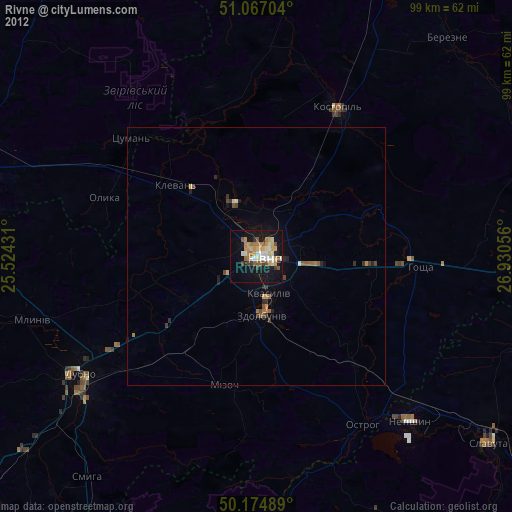
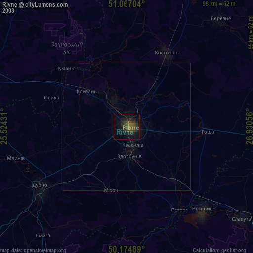

Analysis of Rivne night lights 2016
Square area 10x10 km:
 6.02%
6.02%90-99
10.16%80-89
3.88%70-79
2.94%60-69
3.61%50-59
1.74%40-49
1.07%30-39
1.74%20-29
8.96%10-19
36.63%0-9
23.26%Square area 50x50 km:
0.27%90-99
0.5%80-89
0.16%70-79
0.16%60-69
0.2%50-59
0.16%40-49
0.31%30-39
0.25%20-29
0.52%10-19
2.14%0-9
95.34%Clear (daylight) street map image can be seen on geolist.org.
Map coordinates:
51° 4' 1.3" North, 25° 31' 27.5" East
50° 37' 23.1" North, 26° 13' 38.7" East
50° 10' 29.6" North, 26° 55' 50" East
Some cities around Rivne sort by population:
• Dubno
41.7 km =25.9 mi,  236°
236°
• Slavuta
57.6 km =35.8 mi,  128°
128°
• Netishyn
43 km =26.7 mi,  137°
137°
• Kostopil’
32.5 km =20.2 mi,  29°
29°
• Zdolbuniv
11.4 km =7.1 mi,  174°
174°
• Ostroh
38.4 km =23.9 mi,  148°
148°
• Mlyniv
45 km =28 mi,  253°
253°
• Hoshcha
31.6 km =19.6 mi,  94°
94°
695594 (p: 255,106)
Sources (retrieved 2019-11-25):
» NASA, Earths city lights 1995
» NASA city lights 2003
» Earth at Night: Flat Maps 2012, 2016