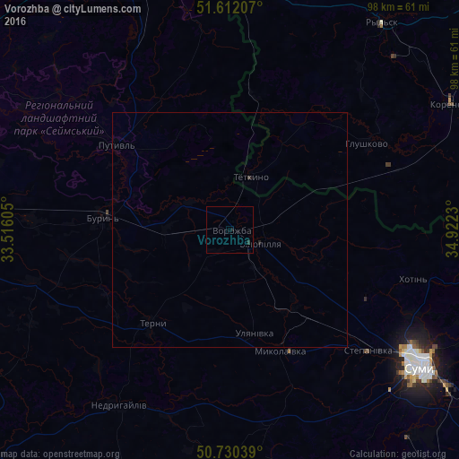
Vorozhba night lights from space
Night Light of Vorozhba (Sumy) from space (Ukraine) Src. Average luminocity for 10x10km area is 0.2727% and for 50x50km: 0.0286%.
Analysis of Vorozhba night lights 2016
Square area 10x10 km:
 0%
0%90-99
0%80-89
0%70-79
0%60-69
0%50-59
0%40-49
0%30-39
0.4%20-29
0.13%10-19
0.53%0-9
98.93%Square area 50x50 km:
0%90-99
0%80-89
0%70-79
0%60-69
0%50-59
0%40-49
0%30-39
0.04%20-29
0.03%10-19
0.04%0-9
99.89%Clear (daylight) street map image can be seen on geolist.org.
Map coordinates:
51° 36' 43.5" North, 33° 30' 57.8" East
51° 10' 24" North, 34° 13' 9" East
50° 43' 49.4" North, 34° 55' 20.3" East
Some cities around Vorozhba sort by population:
• Sumy
49.3 km =30.6 mi,  124°
124°
• Putyvl’
30.4 km =18.9 mi,  306°
306°
• Bilopillya
7 km =4.3 mi,  111°
111°
• Ryl’sk, RU
54.2 km =33.7 mi,  36°
36°
• Buryn’
26.9 km =16.7 mi,  276°
276°
• Korenëvo, RU
54.7 km =34 mi,  61°
61°
• Nedryhayliv
44.7 km =27.8 mi,  212°
212°
• Glushkovo, RU
34.2 km =21.3 mi, 57°
688961 (p: 7,915)
Sources (retrieved 2019-11-25):
» Earth at Night: Flat Maps 2012, 2016