Sumy night lights from space
Night Light of Sumy from space (Ukraine) Src. Average luminocity for 10x10km area is 56.4692% and for 50x50km: 2.7865%.
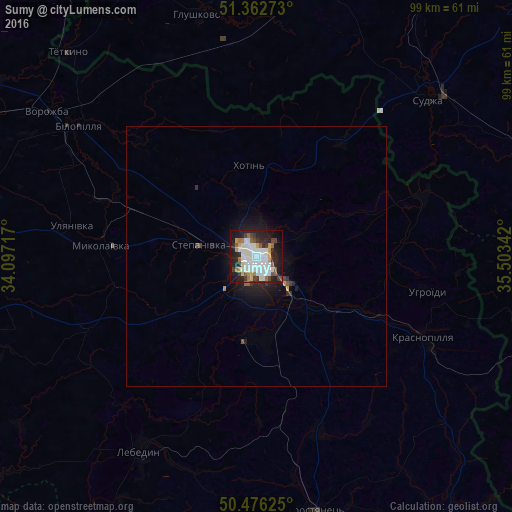
Analysis of Sumy night lights 2016
Square area 10x10 km:
 19.89%
90-99
14.57%80-89
4.06%70-79
4.06%60-69
4.76%50-59
4.34%40-49
3.92%30-39
6.16%20-29
14.71%10-19
20.87%0-9
2.66%Square area 50x50 km:
0.76%90-99
0.55%80-89
0.18%70-79
0.19%60-69
0.21%50-59
0.21%40-49
0.23%30-39
0.37%20-29
0.84%10-19
2.34%0-9
94.13%Clear (daylight) street map image can be seen on geolist.org.
Map coordinates:
51° 21' 45.8" North, 34° 5' 49.8" East
50° 55' 17.8" North, 34° 48' 1" East
50° 28' 34.5" North, 35° 30' 12.3" East
Some cities around Sumy sort by population:
• Lebedyn
43.5 km =27 mi,  210°
210°
• Bilopillya
42.5 km =26.4 mi,  306°
306°
• Krasnopillya
36.2 km =22.5 mi,  116°
116°
• Trostyanets’
49.9 km =31 mi,  166°
166°
• Vorozhba
49.3 km =30.6 mi,  304°
304°
• Sudzha, RU
45.1 km =28 mi,  47°
47°
• Korenëvo, RU
55 km =34.2 mi,  7°
7°
• Glushkovo, RU
47.9 km =29.8 mi,  345°
345°
692194 (p: 294,456)
Sources (retrieved 2019-11-25):
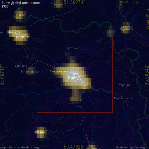
» NASA, Earths city lights 1995
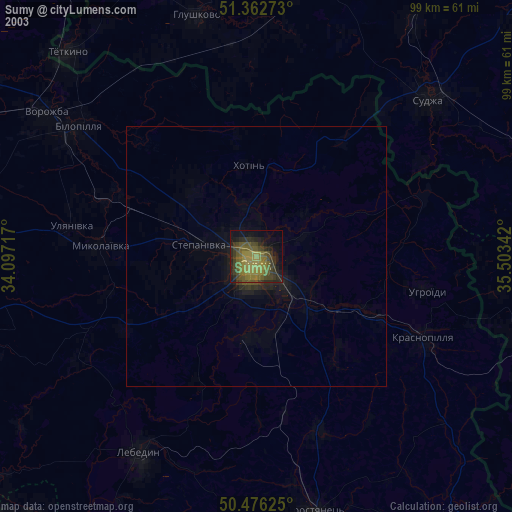
» NASA city lights 2003
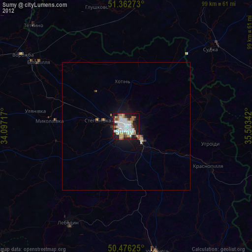
» Earth at Night: Flat Maps 2012, 2016