Buryn’ night lights from space
Night Light of Buryn’ (Sumy) from space (Ukraine) Src. Average luminocity for 10x10km area is 0.3838% and for 50x50km: 0.0149%.
Analysis of Buryn’ night lights 2016
Square area 10x10 km:
 0%
0%90-99
0%80-89
0%70-79
0%60-69
0%50-59
0%40-49
0.14%30-39
0.42%20-29
0%10-19
0.84%0-9
98.6%Square area 50x50 km:
0%90-99
0%80-89
0%70-79
0%60-69
0%50-59
0%40-49
0.01%30-39
0.02%20-29
0%10-19
0.03%0-9
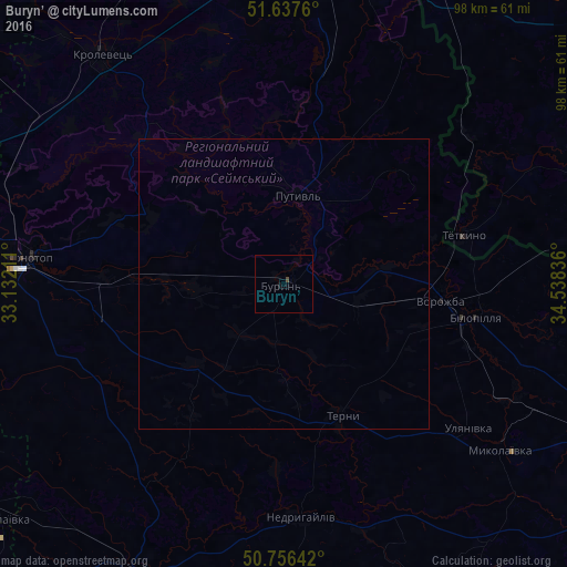
99.95%Clear (daylight) street map image can be seen on geolist.org.
Map coordinates:
51° 38' 15.4" North, 33° 7' 55.6" East
51° 11' 56.8" North, 33° 50' 6.8" East
50° 45' 23.1" North, 34° 32' 18.1" East
Some cities around Buryn’ sort by population:
• Konotop
44.3 km =27.5 mi,  275°
275°
• Romny
55.9 km =34.7 mi,  206°
206°
• Hlukhiv
53.6 km =33.3 mi,  6°
6°
• Krolevets’
49.8 km =30.9 mi,  321°
321°
• Putyvl’
15.6 km =9.7 mi, 9°
• Bilopillya
33.7 km =20.9 mi,  99°
99°
• Vorozhba
26.9 km =16.7 mi, 96°
• Nedryhayliv
40.7 km =25.3 mi,  175°
175°
711116 (p: 11,400)
Sources (retrieved 2019-11-25):
» Earth at Night: Flat Maps 2012, 2016