Korenëvo night lights from space
Night Light of Korenëvo (Kursk) from space (Russia) Src. Average luminocity for 10x10km area is 1.2619% and for 50x50km: 0.1329%.
Analysis of Korenëvo night lights 2016
Square area 10x10 km:
 0%
0%90-99
0%80-89
0%70-79
0.56%60-69
0%50-59
0%40-49
1.26%30-39
0.42%20-29
0%10-19
0.56%0-9
97.2%Square area 50x50 km:
0%90-99
0.02%80-89
0%70-79
0.02%60-69
0.02%50-59
0%40-49
0.06%30-39
0.09%20-29
0.06%10-19
0.02%0-9
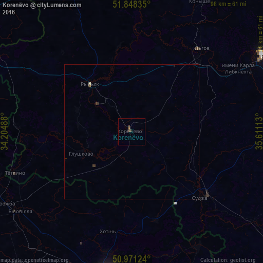
99.7%Clear (daylight) street map image can be seen on geolist.org.
Map coordinates:
51° 50' 54.1" North, 34° 12' 17.6" East
51° 24' 42.8" North, 34° 54' 28.8" East
50° 58' 16.5" North, 35° 36' 40.1" East
Some cities around Korenëvo sort by population:
• Sumy, UA
55 km =34.2 mi,  187°
187°
• Kurchatov
58.4 km =36.3 mi,  61°
61°
• L’govskiy
35.3 km =21.9 mi,  46°
46°
• Bilopillya, UA
50.6 km =31.4 mi,  234°
234°
• Ryl’sk
23.2 km =14.4 mi,  317°
317°
• Vorozhba, UA
54.7 km =34 mi,  241°
241°
• Sudzha
34.8 km =21.6 mi,  133°
133°
• Glushkovo
20.7 km =12.9 mi,  247°
247°
544906 (p: 6,236)
Sources (retrieved 2019-11-25):
» Earth at Night: Flat Maps 2012, 2016