Putyvl’ night lights from space
Night Light of Putyvl’ (Sumy) from space (Ukraine) Src. Average luminocity for 10x10km area is 0% and for 50x50km: 0.0186%.
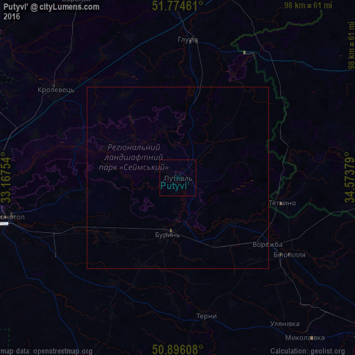
Analysis of Putyvl’ night lights 2016
Square area 10x10 km:
 0%
0%90-99
0%80-89
0%70-79
0%60-69
0%50-59
0%40-49
0%30-39
0%20-29
0%10-19
0%0-9
100%Square area 50x50 km:
0%90-99
0%80-89
0%70-79
0%60-69
0%50-59
0%40-49
0.01%30-39
0.02%20-29
0%10-19
0.05%0-9
99.93%Clear (daylight) street map image can be seen on geolist.org.
Map coordinates:
51° 46' 28.6" North, 33° 10' 3.1" East
51° 20' 14.8" North, 33° 52' 14.4" East
50° 53' 45.9" North, 34° 34' 25.6" East
Some cities around Putyvl’ sort by population:
• Konotop
47.7 km =29.6 mi,  256°
256°
• Hlukhiv
38 km =23.6 mi,  4°
4°
• Krolevets’
41 km =25.5 mi,  304°
304°
• Bilopillya
37.2 km =23.1 mi,  124°
124°
• Buryn’
15.6 km =9.7 mi,  189°
189°
• Vorozhba
30.4 km =18.9 mi,  126°
126°
• Nedryhayliv
56 km =34.8 mi,  179°
179°
• Glushkovo, RU
52.9 km =32.9 mi,  89°
89°
696008 (p: 20,000)
Sources (retrieved 2019-11-25):
» Earth at Night: Flat Maps 2012, 2016