Ryl’sk night lights from space
Night Light of Ryl’sk (Kursk) from space (Russia) Src. Average luminocity for 10x10km area is 1.2246% and for 50x50km: 0.1121%.
Analysis of Ryl’sk night lights 2016
Square area 10x10 km:
 0%
0%90-99
0.53%80-89
0%70-79
0%60-69
0.53%50-59
0%40-49
0%30-39
0.27%20-29
0.8%10-19
0%0-9
97.86%Square area 50x50 km:
0%90-99
0.02%80-89
0%70-79
0.02%60-69
0.02%50-59
0%40-49
0.06%30-39
0.05%20-29
0.04%10-19
0.02%0-9
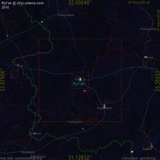
99.77%Clear (daylight) street map image can be seen on geolist.org.
Map coordinates:
52° 0' 1.7" North, 33° 58' 44.7" East
51° 33' 55.8" North, 34° 40' 55.9" East
51° 7' 34.8" North, 35° 23' 7.2" East
Some cities around Ryl’sk sort by population:
• Hlukhiv, UA
54.3 km =33.7 mi,  283°
283°
• L’govskiy
41.8 km =26 mi,  80°
80°
• Putyvl’, UA
61.7 km =38.3 mi,  245°
245°
• Bilopillya, UA
52.8 km =32.8 mi,  209°
209°
• Vorozhba, UA
54.2 km =33.7 mi,  216°
216°
• Sudzha
57.9 km =36 mi,  134°
134°
• Korenëvo
23.2 km =14.4 mi,  137°
137°
• Glushkovo
25.4 km =15.8 mi,  187°
187°
695019 (p: 17,007)
Sources (retrieved 2019-11-25):
» Earth at Night: Flat Maps 2012, 2016