Glushkovo night lights from space
Night Light of Glushkovo (Kursk) from space (Russia) Src. Average luminocity for 10x10km area is 0.105% and for 50x50km: 0.1137%.
Analysis of Glushkovo night lights 2016
Square area 10x10 km:
 0%
0%90-99
0%80-89
0%70-79
0%60-69
0%50-59
0%40-49
0%30-39
0.28%20-29
0%10-19
0%0-9
99.72%Square area 50x50 km:
0%90-99
0%80-89
0%70-79
0.02%60-69
0.01%50-59
0%40-49
0.06%30-39
0.12%20-29
0.05%10-19
0.04%0-9
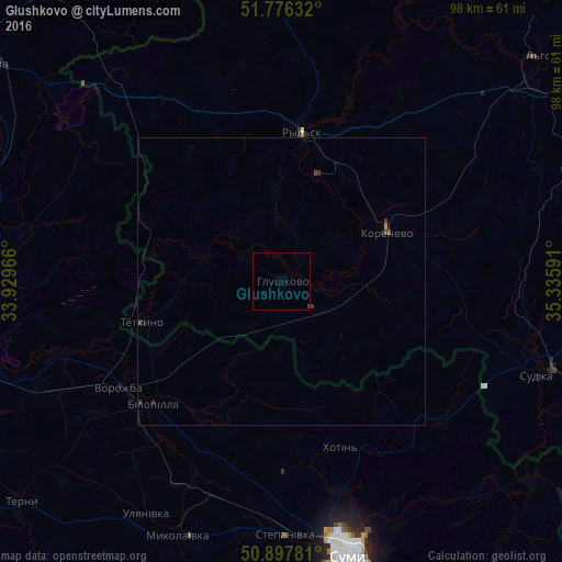
99.7%Clear (daylight) street map image can be seen on geolist.org.
Map coordinates:
51° 46' 34.8" North, 33° 55' 46.8" East
51° 20' 21" North, 34° 37' 58" East
50° 53' 52.1" North, 35° 20' 9.3" East
Some cities around Glushkovo sort by population:
• Sumy, UA
47.9 km =29.8 mi,  165°
165°
• L’govskiy
55.2 km =34.3 mi,  54°
54°
• Putyvl’, UA
52.9 km =32.9 mi,  269°
269°
• Bilopillya, UA
30.6 km =19 mi,  226°
226°
• Ryl’sk
25.4 km =15.8 mi,  7°
7°
• Vorozhba, UA
34.2 km =21.3 mi,  237°
237°
• Sudzha
47.2 km =29.3 mi,  109°
109°
• Korenëvo
20.7 km =12.9 mi,  67°
67°
560995 (p: 5,618)
Sources (retrieved 2019-11-25):
» Earth at Night: Flat Maps 2012, 2016