Velyka Mykhaylivka night lights from space
Night Light of Velyka Mykhaylivka (Odesa) from space (Ukraine) Src. Average luminocity for 10x10km area is 0% and for 50x50km: 0.5829%.
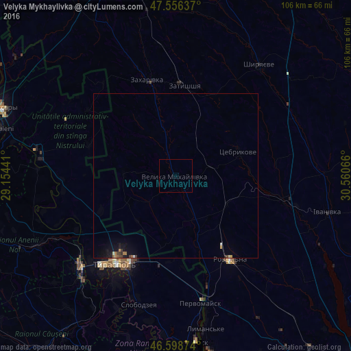
Analysis of Velyka Mykhaylivka night lights 2016
Square area 10x10 km:
 0%
0%90-99
0%80-89
0%70-79
0%60-69
0%50-59
0%40-49
0%30-39
0%20-29
0%10-19
0%0-9
100%Square area 50x50 km:
0.02%90-99
0.04%80-89
0.05%70-79
0.06%60-69
0.11%50-59
0.04%40-49
0.11%30-39
0.08%20-29
0.11%10-19
0.76%0-9
98.62%Clear (daylight) street map image can be seen on geolist.org.
Map coordinates:
47° 33' 22.9" North, 29° 9' 15.9" East
47° 4' 47" North, 29° 51' 27.1" East
46° 35' 55.5" North, 30° 33' 38.4" East
Some cities around Velyka Mykhaylivka sort by population:
• Tiraspol, MD
31.5 km =19.6 mi,  213°
213°
• Bender, MD
39.9 km =24.8 mi,  226°
226°
• Rozdil’na
31.2 km =19.4 mi,  147°
147°
• Slobozia, MD
40.7 km =25.3 mi,  196°
196°
• Chiţcani, MD
37.7 km =23.4 mi, 208°
• Pervomaisc, MD
39.4 km =24.5 mi,  168°
168°
• Shyryayeve
42.1 km =26.2 mi,  37°
37°
• Zakharivka
29.1 km =18.1 mi,  345°
345°
690038 (p: 5,777)
Sources (retrieved 2019-11-25):
» Earth at Night: Flat Maps 2012, 2016