Zakharivka night lights from space
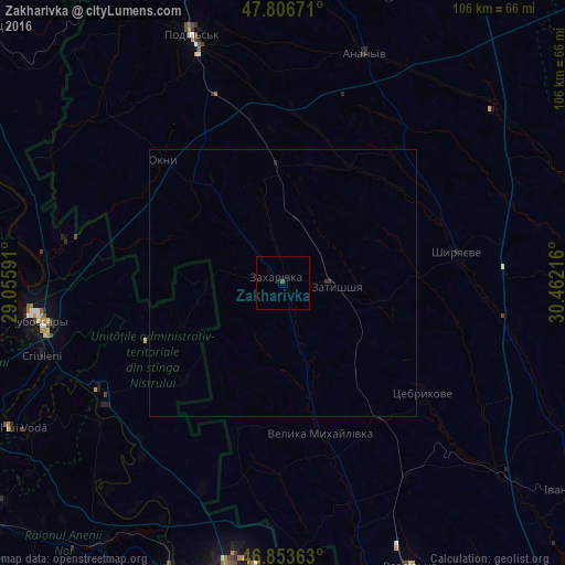
Night Light of Zakharivka (Odesa) from space (Ukraine) Src. Average luminocity for 10x10km area is 0.3884% and for 50x50km: 0.0382%.
Analysis of Zakharivka night lights 2016
Square area 10x10 km:
 0%
0%90-99
0%80-89
0%70-79
0%60-69
0%50-59
0.15%40-49
0.45%30-39
0%20-29
0%10-19
0.6%0-9
98.81%Square area 50x50 km:
0%90-99
0%80-89
0%70-79
0%60-69
0%50-59
0.01%40-49
0.02%30-39
0.02%20-29
0.05%10-19
0.02%0-9
99.89%Clear (daylight) street map image can be seen on geolist.org.
Map coordinates:
47° 48' 24.2" North, 29° 3' 21.3" East
47° 19' 56.4" North, 29° 45' 32.5" East
46° 51' 13.1" North, 30° 27' 43.8" East
Some cities around Zakharivka sort by population:
• Podil’s’k
49.8 km =30.9 mi,  339°
339°
• Dubăsari, MD
45.3 km =28.1 mi,  260°
260°
• Hryhoriopol, MD
39.9 km =24.8 mi,  240°
240°
• Shyryayeve
33.4 km =20.8 mi,  80°
80°
• Criuleni, MD
47.2 km =29.3 mi,  253°
253°
• Velyka Mykhaylivka
29.1 km =18.1 mi,  165°
165°
• Okny
32.3 km =20.1 mi,  315°
315°
• Cocieri, MD
48.5 km =30.1 mi,  265°
265°
709071 (p: 5,007)
Sources (retrieved 2019-11-25):
» Earth at Night: Flat Maps 2012, 2016