Slobozia night lights from space
Night Light of Slobozia (Transnistria) from space (Moldova) Src. Average luminocity for 10x10km area is 0.006% and for 50x50km: 2.3124%.
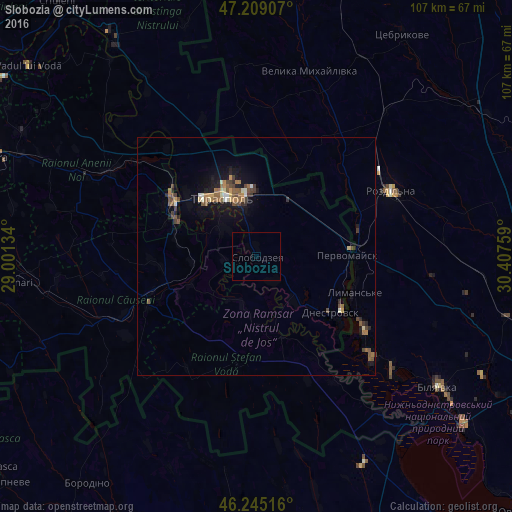
Analysis of Slobozia night lights 2016
Square area 10x10 km:
 0%
0%90-99
0%80-89
0%70-79
0%60-69
0%50-59
0%40-49
0%30-39
0%20-29
0%10-19
0%0-9
100%Square area 50x50 km:
0.1%90-99
0.23%80-89
0.2%70-79
0.21%60-69
0.43%50-59
0.53%40-49
0.63%30-39
0.34%20-29
0.36%10-19
1.79%0-9
95.17%Clear (daylight) street map image can be seen on geolist.org.
Map coordinates:
47° 12' 32.7" North, 29° 0' 4.8" East
46° 43' 45.4" North, 29° 42' 16.1" East
46° 14' 42.6" North, 30° 24' 27.3" East
Some cities around Slobozia sort by population:
• Tiraspol
13.9 km =8.6 mi,  335°
335°
• Bender
20.7 km =12.9 mi,  303°
303°
• Căuşeni
24.6 km =15.3 mi,  245°
245°
• Dnestrovsc
20.6 km =12.8 mi,  127°
127°
• Chiţcani
9 km =5.6 mi,  311°
311°
• Lymanske, UA
21.6 km =13.4 mi,  112°
112°
• Ştefan Vodă
24.3 km =15.1 mi,  187°
187°
• Pervomaisc
19.6 km =12.2 mi,  88°
88°
617381 (p: 15,356)
Sources (retrieved 2019-11-25):
» Earth at Night: Flat Maps 2012, 2016