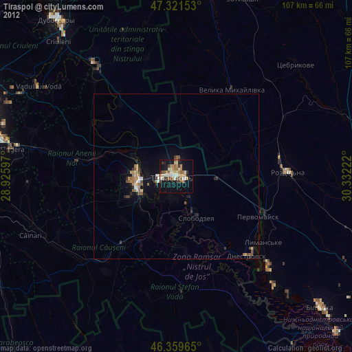
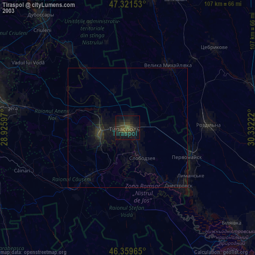
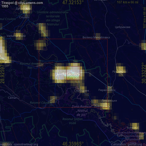
Tiraspol night lights from space
Night Light of Tiraspol (Transnistria) from space (Moldova) Src. Average luminocity for 10x10km area is 31.1815% and for 50x50km: 1.9965%.
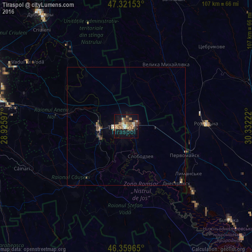
Analysis of Tiraspol night lights 2016
Square area 10x10 km:
 1.79%
1.79%90-99
3.57%80-89
3.27%70-79
4.17%60-69
7.44%50-59
7.59%40-49
6.85%30-39
3.27%20-29
2.83%10-19
36.31%0-9
22.92%Square area 50x50 km:
0.1%90-99
0.23%80-89
0.17%70-79
0.21%60-69
0.36%50-59
0.41%40-49
0.53%30-39
0.26%20-29
0.24%10-19
1.67%0-9
95.81%Clear (daylight) street map image can be seen on geolist.org.
Map coordinates:
47° 19' 17.5" North, 28° 55' 33.5" East
46° 50' 33.9" North, 29° 37' 44.7" East
46° 21' 34.7" North, 30° 19' 56" East
Some cities around Tiraspol sort by population:
• Bender
11.6 km =7.2 mi,  263°
263°
• Căuşeni
28.3 km =17.6 mi,  215°
215°
• Slobozia
13.9 km =8.6 mi,  155°
155°
• Chiţcani
6.7 km =4.2 mi,  187°
187°
• Lymanske, UA
33.1 km =20.6 mi,  128°
128°
• Anenii Noi
30.2 km =18.8 mi,  277°
277°
• Pervomaisc
28.1 km =17.5 mi,  115°
115°
• Velyka Mykhaylivka, UA
31.5 km =19.6 mi,  33°
33°
617239 (p: 157,000)
Sources (retrieved 2019-11-25):
» NASA, Earths city lights 1995
» NASA city lights 2003
» Earth at Night: Flat Maps 2012, 2016