Rozdil’na night lights from space
Night Light of Rozdil’na (Odesa) from space (Ukraine) Src. Average luminocity for 10x10km area is 7.3646% and for 50x50km: 0.5516%.
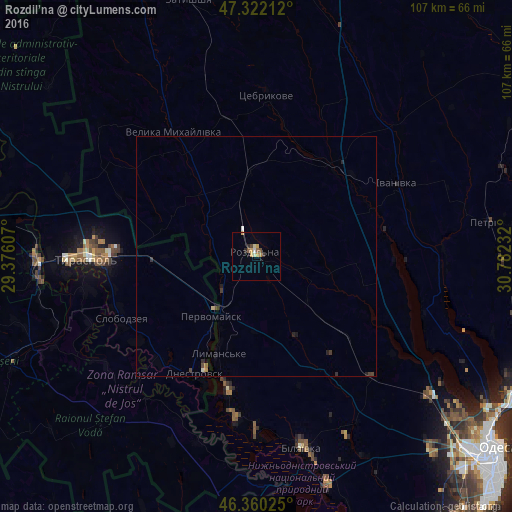
Analysis of Rozdil’na night lights 2016
Square area 10x10 km:
 0%
0%90-99
1.19%80-89
0.89%70-79
2.68%60-69
0.45%50-59
1.04%40-49
1.19%30-39
0.6%20-29
1.19%10-19
0%0-9
90.77%Square area 50x50 km:
0.01%90-99
0.09%80-89
0.07%70-79
0.13%60-69
0.04%50-59
0.05%40-49
0.14%30-39
0.11%20-29
0.19%10-19
0.07%0-9
99.12%Clear (daylight) street map image can be seen on geolist.org.
Map coordinates:
47° 19' 19.6" North, 29° 22' 33.9" East
46° 50' 36" North, 30° 4' 45.1" East
46° 21' 36.9" North, 30° 46' 56.4" East
Some cities around Rozdil’na sort by population:
• Tiraspol, MD
34.2 km =21.3 mi,  269°
269°
• Slobozia, MD
31.2 km =19.4 mi,  246°
246°
• Bilyayivka
41.4 km =25.7 mi,  165°
165°
• Dnestrovsc, MD
28 km =17.4 mi,  205°
205°
• Chiţcani, MD
35.8 km =22.2 mi,  259°
259°
• Lymanske
22.5 km =14 mi,  202°
202°
• Pervomaisc, MD
15.2 km =9.4 mi,  215°
215°
• Velyka Mykhaylivka
31.2 km =19.4 mi,  327°
327°
695344 (p: 17,615)
Sources (retrieved 2019-11-25):
» Earth at Night: Flat Maps 2012, 2016